Archaeological sites · East of England
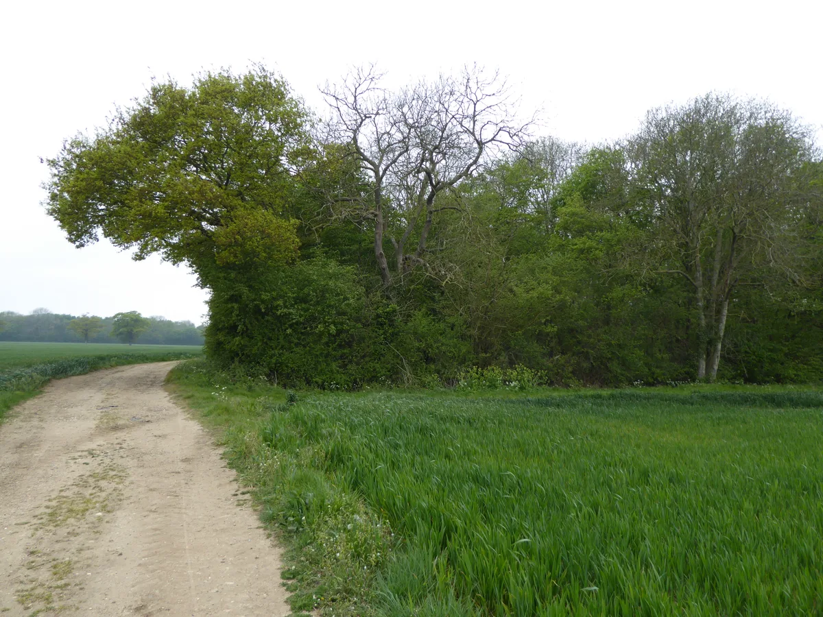
Bixley medieval settlement
Bixley medieval settlement — archaeological site in Norfolk, England, UK.
.jpg?width=1200)
Wikimedia Commons contributors — see linked file page for photographer and licence licence
.jpg)
Plan your visit
- Typical visit
- 45 min–1.5 h
- Nearest railway station
- Norwich · 3.9 km
- Free entry
- Dog-friendly
About
Bixley medieval settlement is an archaeological site in the United Kingdom. Heritage designation: scheduled monument. Wikidata describes it as: "archaeological site in Norfolk, England, UK". Coordinates: 52.5951°, 1.3353°.
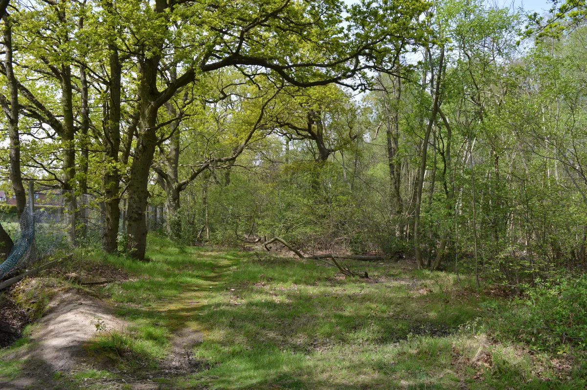
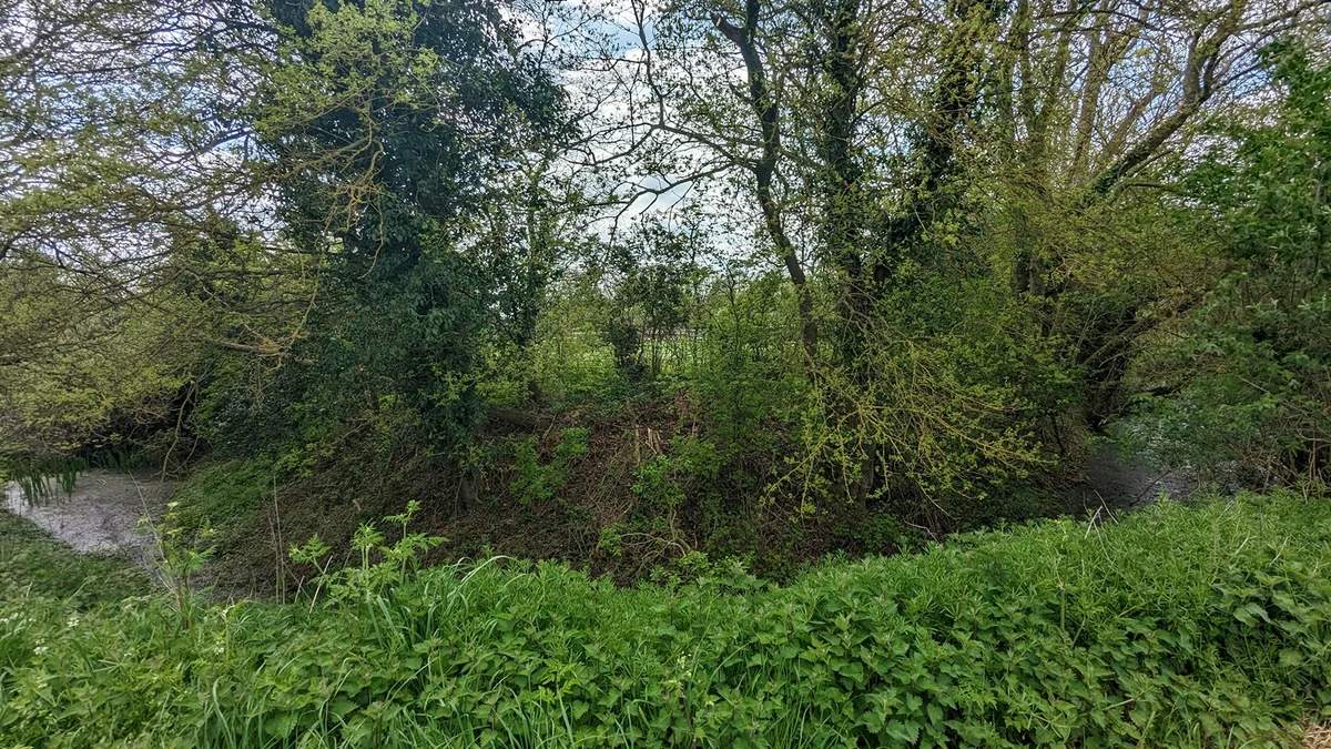
Photo gallery
From the Wikipedia article
Bixley medieval settlement is a deserted medieval village in Norfolk, England, about 2 miles (3.2 km) south-east of Norwich in the former parish of Bixley. It is a Scheduled Monument.
Excerpt from Wikipedia under CC BY-SA 4.0. See the source article linked in Sources below.
Background
History
The Domesday Book of 1086 recorded that there were 19 adult males in Bixley. The population, shown later from tax records, was small in the 14th and 15th centuries compared to other villages in the hundred. In 1524 there were five taxpayers. The church of St Wandregeselius is on the western edge of the site. Its tower dates from the early 14th century; the rest of the church dates from 1868. It is a Grade II* listed building. The roof and interior were destroyed by a fire in 2004.
Sourced from Wikipedia under CC BY-SA 4.0.
- Coordinates
- 52.5951, 1.3353
- County
- Norfolk
- District
- South Norfolk
- Parish
- Caistor St Edmund and Bixley
- Postcode
- NR14 8RY
- Parliamentary constituency
- South Norfolk
- Nearest railway station
- Norwich — 3.9 km
Sources
- wikidata: Q17666898 (CC0)
- wikipedia: Bixley medieval settlement (CC BY-SA 4.0)
- commons: The site of Bixley village (geograph 4375858).jpg (CC BY-SA 4.0)
Other places nearby
Loading nearby places…
Nearby
 📷 3
📷 3Public art & sculpture · East of England
Arminghall Village Sign
Arminghall Village Sign — a public art in england-east, United Kingdom.
 📷 3
📷 3Public art & sculpture · East of England
Octagon Pottery Barn
Octagon Pottery Barn — a public art in england-east, United Kingdom.
 📷 3
📷 3Public art & sculpture · East of England
Framingham Pigot Village Sign
Framingham Pigot Village Sign — a public art in england-east, United Kingdom.
 📷 3
📷 3Public art & sculpture · East of England
Framingham Earl Village Sign
Framingham Earl Village Sign — a public art in england-east, United Kingdom.
Caravan parks · East of England
The Old Stracey
The Old Stracey — a caravan park in england east.
 📷 3
📷 3Archaeological sites · East of England
Arminghall Henge
Arminghall Henge — a archaeological in england-east, United Kingdom.
More archaeological sites in this region
 📷 3
📷 3Archaeological sites · East of England
Abbey Wood, Flixton
Abbey Wood, Flixton is a archaeological site in the United Kingdom.
 📷 3
📷 3Archaeological sites · East of England
Bangrove Wood
Bangrove Wood — protected area in Suffolk, England.
 📷 5
📷 5Archaeological sites · East of England
Bullock Wood
Bullock Wood — biological Site of Special Scientific Interest in England.
 📷 3
📷 3Archaeological sites · East of England
Burgate Hall moated site
Burgate Hall moated site — archaeological site in Burgate, Mid Suffolk, England, UK.
Frequently asked questions
- Where is Bixley medieval settlement?
- Bixley medieval settlement is in Norfolk, East of England, United Kingdom (postcode NR14 8RY), in the parish of Caistor St Edmund and Bixley.
- Is Bixley medieval settlement a listed building?
- Bixley medieval settlement is officially recognised as scheduled monument listed.
- How do I get to Bixley medieval settlement?
- The nearest railway station is Norwich, about 3.9 km away. Drivers can navigate to postcode NR14 8RY.