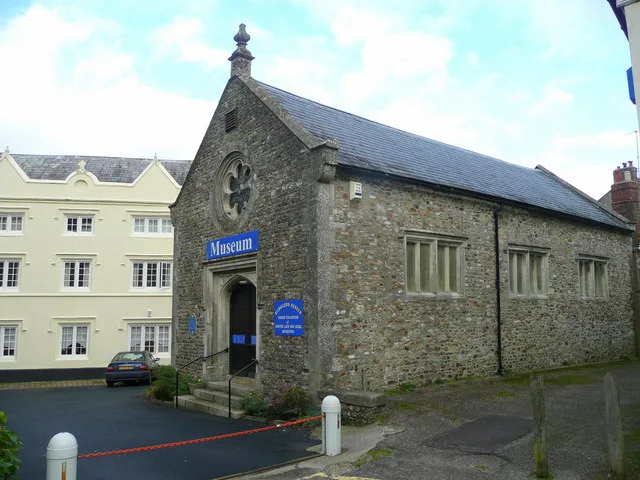
Museums · South West England
Bishops Lydeard
Bishops Lydeard () is a village and civil parish located in Somerset, England, 5 miles (8 km) north-west of Taunton. The civil parish encompasses the hamlets of East Lydeard and Terhill, and had a pop

Lewis Clarke — CC BY-SA 2.0 via Wikimedia Commons licence
Plan your visit
- Typical visit
- 1.5 h–3 h
- Best time of year
- Year-round
- Family-friendly
- Limited wheelchair access
About
Bishops Lydeard () is a village and civil parish located in Somerset, England, 5 miles (8 km) north-west of Taunton. The civil parish encompasses the hamlets of East Lydeard and Terhill, and had a population of 2,839 persons as recorded in the 2011 census; this figure, however, includes the village (and now separate parish) of Cotford St Luke. The village has been bypassed, since 1967, by the A358 road; the West Somerset Railway also runs through the area. The hamlet of East Lydeard is less than a mile to the east of the village; Terhill is about two miles north, while west of the village is Sandhill Park, an eighteenth-century country house.
Photo gallery
From the Wikipedia article
Bishops Lydeard () is a village and civil parish located in Somerset, England, 5 miles (8 km) north-west of Taunton. The civil parish encompasses the hamlets of East Lydeard and Terhill, and had a population of 2,839 persons as recorded in the 2011 census; this figure, however, includes the village (and now separate parish) of Cotford St Luke. The village has been bypassed, since 1967, by the A358 road; the West Somerset Railway also runs through the area. The hamlet of East Lydeard is less than a mile to the east of the village; Terhill is about two miles north, while west of the village is Sandhill Park, an eighteenth-century country house.
Excerpt from Wikipedia under CC BY-SA 4.0. See the source article linked in Sources below.
Background
History
The name of the village probably relates to Gisa, Bishop of Wells, who was its principal tenant and one of the major episcopal landowners in Somerset at the time of the Domesday Book in 1086. Lydeard is a compound of two Saxon personal names: Lide (cognate with "Lloyd"), a derivative of the Brythonic word meaning grey (llwyd in modern Welsh), and Geard, the latter remaining as a local name, "Yarde". As well as being a personal name, geard means "a fence, enclosure, courtyard or dwelling", again of Brythonic origin, as in the modern Welsh word, garth (enclosure, ridge etc.), or personal names, Garth or Gareth. Thus "grey enclosure" or "ridge" seem to be plausible alternative meanings. The…
Sourced from Wikipedia under CC BY-SA 4.0.
- Coordinates
- 51.0615, -3.1872
- District
- Somerset
- Parish
- Bishop's Lydeard
- Postcode
- TA4 3DJ
- Parliamentary constituency
- Tiverton and Minehead
- Official site
- www.somersetintelligence.org.uk
Sources
- wikipedia: Bishops Lydeard (CC BY-SA 4.0)
Other places nearby
Loading nearby places…
Nearby
 📷 5
📷 5Historic churches · South West England
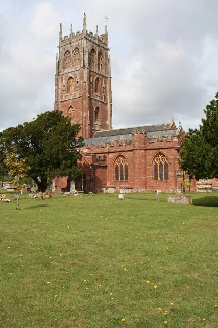
Church of St Mary, Bishops Lydeard
Church of St Mary, Bishops Lydeard — church in Bishops Lydeard, UK.
.jpg?width=1200) 📷 5
📷 5Historic houses · South West England
Lydeard House
Lydeard House — house in Bishops Lydeard, Somerset, England, UK.
B&Bs · South West England
West View Bed & Breakfast
West View Bed & Breakfast — a bed-and-breakfast in england south west.
 📷 5
📷 5Watermills · South West England
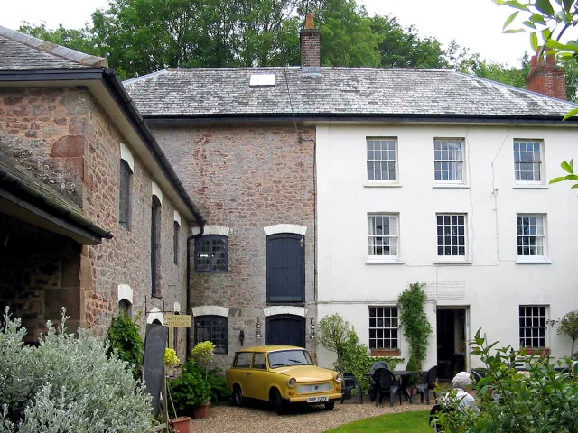
Bishops Lydeard Mill
Bishops Lydeard Mill is a watermill in the United Kingdom.
B&Bs · South West England
Farrington Bed & Breakfast
Farrington Bed & Breakfast — a bed-and-breakfast in england south west.
 📷 5
📷 5Breweries · South West England
Quantock Brewery
Quantock Brewery — brewery in Bishop's Lydeard, Somerset, England, UK.
More museums in this region
 📷 5
📷 5Museums · South West England
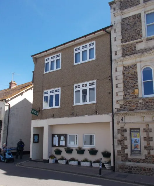
Allhallows Museum
Allhallows Museum — museum in Honiton, Devon, England, United Kingdom.
 📷 5
📷 5Museums · South West England
Axe Valley Heritage Museum
Axe Valley Heritage Museum — museum in Seaton, England, UK.
 📷 5
📷 5Museums · South West England
Bakelite Museum
Bakelite Museum is a museum in the United Kingdom.
 📷 5
📷 5Museums · South West England
Barometer World
Barometer World — former museum in Devon, England.
Frequently asked questions
- Where is Bishops Lydeard?
- Bishops Lydeard is in South West England, in the United Kingdom — coordinates 51.0615°, -3.1872°.
- Is Bishops Lydeard wheelchair accessible?
- Partially — OpenStreetMap notes limited wheelchair access at Bishops Lydeard. Check ahead for specific facilities.