Hill forts · North West England
Birkrigg stone circle
Birkrigg stone circle — archaeological site in Ulverston, South Lakeland, England, UK.

Wikimedia Commons contributors — see linked file page for photographer and licence licence
Plan your visit
- Typical visit
- 1 h–2 h
- Nearest railway station
- Ulverston · 4.1 km
- Free entry
- Dog-friendly
About
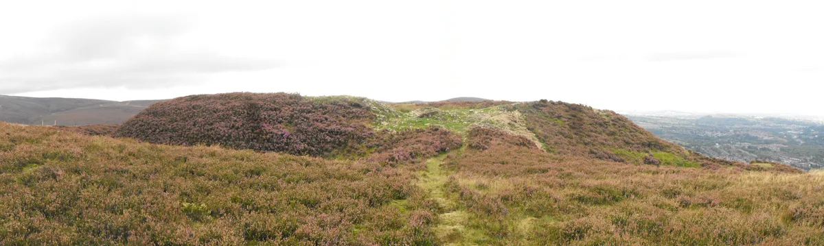
Birkrigg stone circle is a hill fort in the United Kingdom. Heritage designation: scheduled monument. Wikidata describes it as: "archaeological site in Ulverston, South Lakeland, England, UK". Coordinates: 54.1560°, -3.0856°.
Photo gallery
Protected designations
- Site of Special Scientific Interest: Morecambe Bay SSSI
- Ramsar wetland: Morecambe Bay
Designations sourced from Natural England open data under OGL v3.
From the Wikipedia article
The Birkrigg stone circle (also known as the Druid's Temple or Druids' Circle) is a Bronze Age stone circle on Birkrigg Common, two miles south of Ulverston in the English county of Cumbria.
Excerpt from Wikipedia under CC BY-SA 4.0. See the source article linked in Sources below.
Background
Description
The circle consists of two rings of stones, the inner being 8.5 m wide and consisting of 12 stones varying between 0.3 m and 0.9 m tall and the outer measuring 26 m and consisting of 20 smaller stones. Limited excavation within the inner circle in 1911 found an upper and lower pavement of cobbles. Below the lower layer of cobbles five cremations were uncovered, three in pits, one on a layer of cobbles and one covered by an inverted urn. A second excavation in 1921 produced a few small stone implements which the excavator thought might be a pestle, a palate and a piece of red ochre, and which might therefore have had a ceremonial use.
Sourced from Wikipedia under CC BY-SA 4.0.
- Coordinates
- 54.1560, -3.0856
- District
- Westmorland and Furness
- Parish
- Aldingham
- Postcode
- LA12 9RE
- Parliamentary constituency
- Barrow and Furness
- Nearest railway station
- Ulverston — 4.1 km
Sources
- wikidata: Q4916500 (CC0)
- wikipedia: Birkrigg stone circle (CC BY-SA 4.0)
- commons: Birkrigg stone circle.JPG (CC BY-SA 4.0)
Other places nearby
Loading nearby places…
Nearby
Vineyards · North West England
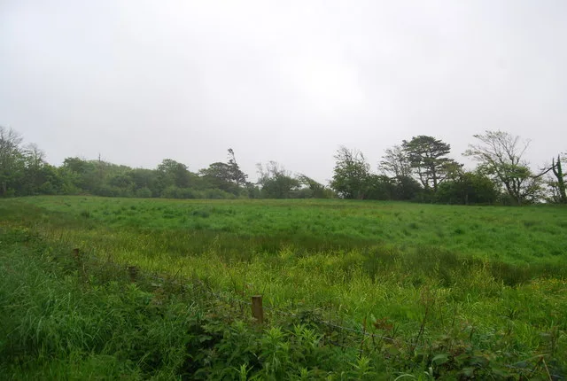
Palisaded hilltop enclosure, a slight univallate hillfort, and a dewpond at Skelmore Heads, 280m east of Woodside Farm
Palisaded hilltop enclosure, a slight univallate hillfort, and a dewpond at Skelmore Heads, 280m east of Woodside Farm — a UK vineyard in england north west, producing English or Welsh wine from cool-climate grape varieties.
 📷 3
📷 3Archaeological sites · North West England
Skelmore Heads Fort
Skelmore Heads Fort — a archaeological in england-north-west, United Kingdom.
 📷 5
📷 5Historic churches · North West England
Manjushri Kadampa Meditation Centre
Manjushri Kadampa Meditation Centre — a church in england-north-west, United Kingdom.
 📷 4
📷 4Abbeys & priories · North West England
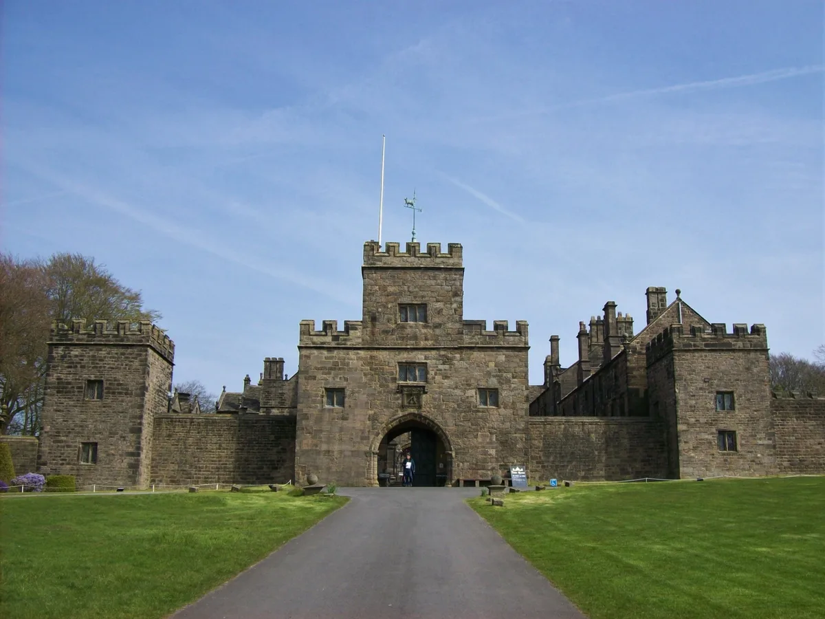
Conishead Priory
Conishead Priory is a large Gothic Revival building on the Furness peninsula near Ulverston in Cumbria. The priory's name translates literally as "King's Hill Priory". Since 1976, the building has bee
 📷 3
📷 3Farms (open to visitors) · North West England
Lime kiln 100m east of Scales Green Farm
Lime kiln 100m east of Scales Green Farm — a Grade II*-listed farm in england-north-west, United Kingdom.
 📷 3
📷 3Farms (open to visitors) · North West England
Lime kiln and associated lime shed 680m south east of Scales Green Farm
Lime kiln and associated lime shed 680m south east of Scales Green Farm — a Grade II*-listed farm in england-north-west, United Kingdom.
More places in this region
 📷 5
📷 5Hill forts · North West England
Buckton Castle
Buckton Castle — 12th-century castle in Mossley, Greater Manchester, England, UK.
 📷 3
📷 3Hill forts · North West England
Glannoventa
Glannoventa — Roman fort and settlement.
 📷 5
📷 5Hill forts · North West England
Hoghton Tower
Hoghton Tower — Grade I listed house in Hoghton, Lancashire, England, United Kingdom.
 📷 5
📷 5Hill forts · North West England
Ravenglass Roman Bath House
Ravenglass Roman Bath House — archaeological site at Ravenglass, United Kingdom.
Frequently asked questions
- Where is Birkrigg stone circle?
- Birkrigg stone circle is in North-West England, United Kingdom (postcode LA12 9RE), in the parish of Aldingham.
- Is Birkrigg stone circle a listed building?
- Birkrigg stone circle is officially recognised as scheduled monument listed.
- Is Birkrigg stone circle a protected site?
- Yes — Birkrigg stone circle is part of the Morecambe Bay SSSI Site of Special Scientific Interest and the Morecambe Bay Ramsar wetland.
- Is Birkrigg stone circle free to visit?
- Yes, Birkrigg stone circle is free to enter.
- How do I get to Birkrigg stone circle?
- The nearest railway station is Ulverston, about 4.1 km away. Drivers can navigate to postcode LA12 9RE.