Mountains & hills · London
Betsom's Hill
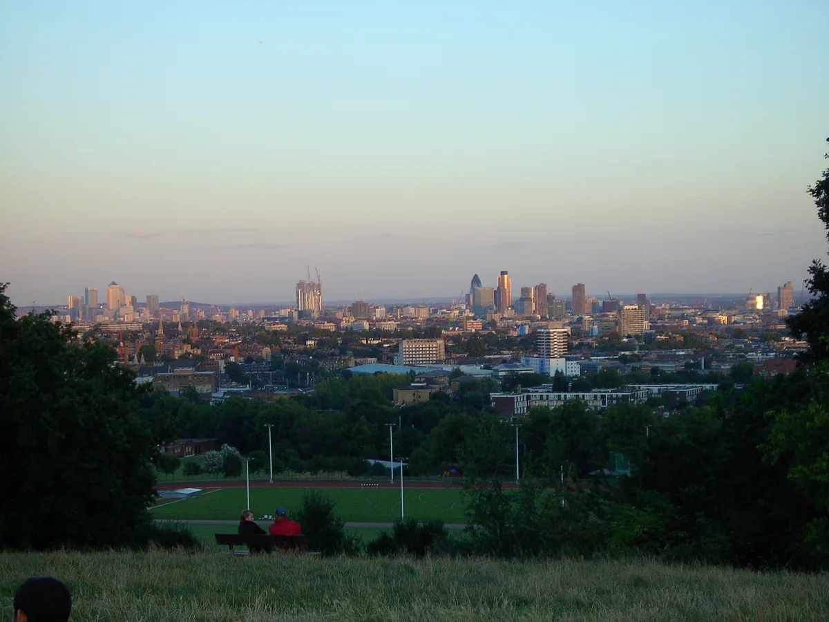
Betsom's Hill — Named summit at 251 m.

Wikimedia Commons contributors — see linked file page for photographer and licence licence
Plan your visit
- Typical visit
- 3 h–8 h
- Best time of year
- Late spring – early autumn (May–Oct)
- Nearest railway station
- Oxted · 5.5 km
- Free entry
- Dog-friendly
About
Betsom's Hill is a named summit in the United Kingdom. Wikidata describes it as: "Named summit at 251 m.". Coordinates: 51.2881°, 0.0578°.
Photo gallery
Protected designations
- Area of Outstanding Natural Beauty: Kent Downs
- Area of Outstanding Natural Beauty: Surrey Hills
Designations sourced from Natural England open data under OGL v3.
From the Wikipedia article
Betsom's Hill is a hill on the North Downs. Situated between Westerham and Tatsfield, at the western edge of the county of Kent, it lies close to where the A233 crosses the Downs en route to Biggin Hill. This is the highest part of the North Downs, with Botley Hill the highest point, nearby to the west. The hill lies at the western end of the Kent Downs, an area of outstanding natural beauty.
Excerpt from Wikipedia under CC BY-SA 4.0. See the source article linked in Sources below.
Background
History
The crest of the hill was the location of a Victorian defence fort, one of twelve locations along the North Downs built to protect London in case of attack by foreign invaders crossing the channel. Known as Betsom's Hill Fort or Westerham Fort, it was part of the London Defence scheme, and was intended to act both as a mobilisation centre for volunteer troops, and as an ammunition store. The fort which consisted of ramparts, casemates and a magazine has been partially demolished and converted for use as workshops, with private houses appropriately named Fort Cottages now occupying the site.
Sourced from Wikipedia under CC BY-SA 4.0.
- Coordinates
- 51.2881, 0.0578
- County
- Kent
- District
- Sevenoaks
- Parish
- Westerham
- Postcode
- TN16 2ED
- Parliamentary constituency
- Sevenoaks
- Nearest railway station
- Oxted — 5.5 km
Sources
- osm: n3428770693 (ODbL)
- wikipedia: Betsom's Hill (CC BY-SA 4.0)
- commons: Betsom's Hill at Tatsfield, Kent.jpg (CC BY-SA 4.0)
Other places nearby
Loading nearby places…
Nearby
 📷 5
📷 5Battlefields & battle sites · South East England
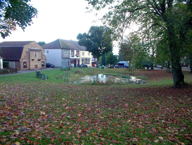
Westerham Wood
Westerham Wood in England South East, United Kingdom.
Campsites · London
Wayland Scout Campsite
Wayland Scout Campsite — a campsite in england london.
 📷 5
📷 5Historic churches · London
Westerham
Westerham — a church in england-london, United Kingdom.
 Flagship📷 10
Towns & cities · London
Tatsfield
Tatsfield — village in Tandridge, Surrey, UK.
 📷 5
📷 5Memorials & monuments · London
Sgt Stefan Wojtowicz Memorial
Sgt Stefan Wojtowicz Memorial — a memorial in england-london, United Kingdom.
 📷 5
📷 5Chapels · London
Aperfield
Aperfield — a methodist chapel in england-london, United Kingdom.
More mountains in this region
 📷 5
📷 5Mountains & hills · London
Botley Hill
Botley Hill — Named summit at 269.6 m.
 📷 5
📷 5Mountains & hills · London
Cambridgeshire County Top
Cambridgeshire County Top — Named summit at 146 m.
 📷 5
📷 5Mountains & hills · London
Little Trees Hill
Little Trees Hill — Named summit at 74 m.
 📷 5
📷 5Mountains & hills · London
Parliament Hill
Parliament Hill — Named summit at 93 m.
Frequently asked questions
- Where is Betsom's Hill?
- Betsom's Hill is in Kent, London, United Kingdom (postcode TN16 2ED), in the parish of Westerham.
- Is Betsom's Hill a protected site?
- Yes — Betsom's Hill is part of the Kent Downs National Landscape (AONB) and the Surrey Hills National Landscape (AONB).
- Is Betsom's Hill free to visit?
- Yes, Betsom's Hill is free to enter.
- How do I get to Betsom's Hill?
- The nearest railway station is Oxted, about 5.5 km away. Drivers can navigate to postcode TN16 2ED.