Towns & cities · London
Benington
Benington — a village located in East Hertfordshire, United Kingdom.

Wikimedia Commons contributors — see linked file page for photographer and licence licence
Plan your visit
- Typical visit
- 3 h–6 h
- Nearest railway station
- Watton-at-Stone · 4.4 km
- Free entry
- Family-friendly
- Dog-friendly
About
Benington is a town, city, village or settlement in the United Kingdom. Recent population estimates put it at around 903 people. Address: SG2. Wikidata describes it as: "a village located in East Hertfordshire, United Kingdom". Coordinates: 51.8962°, -0.1126°.
Photo gallery
From the Wikipedia article
Benington is a village and civil parish in the East Hertfordshire district of Hertfordshire, England. It lies about 4 miles (6 km) east of Stevenage, its post town, and 35 miles (56 km) north of London. At the 2021 census the parish had a population of 903.
Excerpt from Wikipedia under CC BY-SA 4.0. See the source article linked in Sources below.
Background
History
There are two theories regarding the naming of the village. One comes from Saxon times and is derived from the name of the river to the west of the village - the Beane. The middle syllable 'ing' is common in place names all over south-east England and means 'people', Benington therefore meaning The Town of the Beane Folk. The second view is that Benington is a corruption of the name 'Belinton' which appears in the Domesday Book. This is thought to mean the town of Bela's people, after the name of the man who led the first group of immigrants to the area.
Visiting
The 2009 psychological horror found footage short film and web series No Through Road by Steven Chamberlain follows four seventeen-year-old teenagers en-route to Stevenage who find themselves trapped in a time loop along two road signs marking an intersection between Benington and Watton.
Sourced from Wikipedia under CC BY-SA 4.0.
- Coordinates
- 51.8962, -0.1126
- County
- Hertfordshire
- District
- East Hertfordshire
- Parish
- Benington
- Postcode
- SG2
- Parliamentary constituency
- North East Hertfordshire
- Population
- 903
- Nearest railway station
- Watton-at-Stone — 4.4 km
Sources
- wikidata: Q591902 (CC0)
- wikipedia: Benington, Hertfordshire (CC BY-SA 4.0)
- commons: St Peter, Benington, Herts - geograph.org.uk - 355401.jpg (CC BY-SA 4.0)
Other places nearby
Loading nearby places…
Nearby
 📷 5
📷 5Memorials & monuments · London
Lych Gate At St Peter's Church (100 Metres To East North East Of Chancel)
Lych Gate At St Peter's Church (100 Metres To East North East Of Chancel) — Grade II listed building-listed memorial in england-london, United Kingdom.
 📷 5
📷 5Historic churches · London
Parish Church of St Peter, Benington
Parish Church of St Peter, Benington — Grade I listed building-listed church in england-london, United Kingdom.
.jpg?width=1200) 📷 5
📷 5Gardens · London
Benington Lordship
Benington Lordship — country house in Hertfordshire, England, UK.
 📷 5
📷 5Castles · London
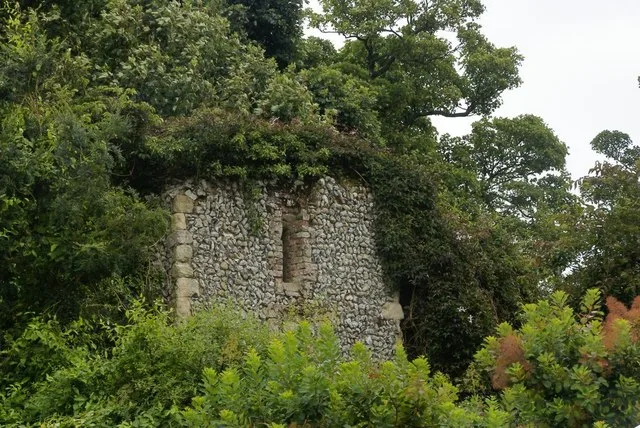
Benington Castle
Benington Castle — Grade I listed castle in East Hertfordshire, England, UK.
 📷 5
📷 5Memorials & monuments · London
War Memorial on St Mary's Churchyard (70 Metres to East of Church)
War Memorial on St Mary's Churchyard (70 Metres to East of Church) — Grade II listed building-listed memorial in england-london, United Kingdom.
 📷 5
📷 5Castles · London
Walkern
Walkern — a castle in england-london, United Kingdom.
More towns in this region
 Flagship📷 10
Towns & cities · London
Aldenham
Aldenham — village and civil parish in Hertfordshire, England.
 Flagship📷 10
Towns & cities · London
Ashdon
Ashdon — village and civil parish in Essex, UK.
 Flagship📷 10
Towns & cities · London
Betchworth
Betchworth — village and civil parish in the Mole Valley district of Surrey, England.
 Flagship📷 10
Towns & cities · London
Boxley
Boxley — village and civil parish in Maidstone District, Kent, England, UK.
Frequently asked questions
- Where is Benington?
- Benington is in Hertfordshire, London, United Kingdom (postcode SG2), in the parish of Benington.
- Is Benington free to visit?
- Yes, Benington is free to enter.
- How do I get to Benington?
- The nearest railway station is Watton-at-Stone, about 4.4 km away. Drivers can navigate to postcode SG2.