Museums · East Midlands
Belper
Belper () is a town and civil parish in the Amber Valley district of Derbyshire, England, located about 7 miles (11 km) north of Derby on the River Derwent. Along with Belper, the parish includes the

Dave Bevis — CC BY-SA 2.0 via Wikimedia Commons licence
Plan your visit
- Typical visit
- 1.5 h–3 h
- Best time of year
- Year-round
- Family-friendly
- Limited wheelchair access
About
Belper () is a town and civil parish in the Amber Valley district of Derbyshire, England, located about 7 miles (11 km) north of Derby on the River Derwent. Along with Belper, the parish includes the village of Milford and the hamlets of Bargate, Blackbrook, and Makeney. As of the 2021 census, the parish had a population of 21,440. Originally a centre for the nail-making industry since the Middle Ages, Belper expanded during the early Industrial Revolution to become one of the first mill towns with the establishment of several textile mills; as such, it forms part of the Derwent Valley Mills World Heritage Site.
Photo gallery
From the Wikipedia article
Belper () is a town and civil parish in the Amber Valley district of Derbyshire, England, located about 7 miles (11 km) north of Derby on the River Derwent. Along with Belper, the parish includes the village of Milford and the hamlets of Bargate, Blackbrook, and Makeney. As of the 2021 census, the parish had a population of 21,440. Originally a centre for the nail-making industry since the Middle Ages, Belper expanded during the early Industrial Revolution to become one of the first mill towns with the establishment of several textile mills; as such, it forms part of the Derwent Valley Mills World Heritage Site.
Excerpt from Wikipedia under CC BY-SA 4.0. See the source article linked in Sources below.
Background
History
At the time of the Norman occupation, Belper was part of the land centred on Duffield held by the family of Henry de Ferrers. The Domesday Book of 1086 records a manor of "Bradley" which is thought to have stood in an area of town now known as the Coppice. At that time it was probably within the Forest of East Derbyshire which covered the whole of the county east of the Derwent. It was possibly appropriated by William de Ferrers, 4th Earl of Derby at some time after it was disafforested in 1225 and became part of Duffield Frith. The town's name is thought to be a corruption of Beaurepaire – meaning beautiful retreat – the name given to a hunting lodge, the first record of which being in a…
Description
The Belper Moo began in March 2020, in response to the nationwide lockdown prompted by the COVID-19 crisis. Started by Belper resident Jasper Ward, it was advertised on social media as a means of 'fighting lockdown stress, boredom and loneliness'. At 6.30pm, every evening, Belper residents were encouraged to mimic a cow's moo from their windows, doorways and gardens while following social distancing guidelines. The idea quickly caught the imagination of the people and Belper and spread rapidly around the town. Many residents fashioned their own devices for amplifying their moos, which became known as 'Moocraphones', 'Didgerimoos', Megamoophones' and 'Saxamoophones'. Following coverage on…
Visiting
The adjoining community of Openwoodgate lies to the east, one mile from the centre of Belper. A small eastern portion, centred around Openwood Road and the Kilburn Lane section of the A609 road, containing the historic Ireton Houses cottages and bordered by the A38, is contained within Denby parish.
Sourced from Wikipedia under CC BY-SA 4.0.
- Coordinates
- 53.0290, -1.4750
- County
- Derbyshire
- District
- Amber Valley
- Parish
- Belper
- Postcode
- DE56 1GQ
- Parliamentary constituency
- Mid Derbyshire
Sources
- wikipedia: Belper (CC BY-SA 4.0)
Other places nearby
Loading nearby places…
Nearby
 📷 3
📷 3Chapels · East Midlands
Unitarian Chapel And Chapel Cottage
Unitarian Chapel And Chapel Cottage — chapel in Belper, Amber Valley, England, UK.
 📷 3
📷 3Historic bridges · East Midlands
Matlock Road Bridge (Spc8 35)
Matlock Road Bridge (Spc8 35) — Grade II listed building-listed bridge in england-east-midlands, United Kingdom.
 📷 3
📷 3Country parks · East Midlands
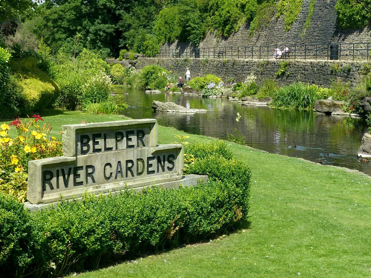
Belper River Gardens
Belper River Gardens — park in Belper, Derbyshire, England.
Cinemas · East Midlands
The Ritz
The Ritz — a cinema in england east midlands.
 📷 5
📷 5Memorials & monuments · East Midlands
Sacrifice
Sacrifice — a memorial in england-east-midlands, United Kingdom.
 📷 3
📷 3Historic bridges · East Midlands
King Street Bridge (Spc8 28)
King Street Bridge (Spc8 28) — Grade II listed building-listed bridge in england-east-midlands, United Kingdom.
More museums in this region
 📷 3
📷 3Museums · East Midlands
6 Former Filter Beds, Water Tank With Gazebo, And Steps At Swithland Reservoir Water Works
6 Former Filter Beds, Water Tank With Gazebo, And Steps At Swithland Reservoir Water Works — architectural ensemble in Quorndon, Charnwood, Leicestershire, England, UK.
 📷 3
📷 3Museums · East Midlands
Abbeydale Industrial Hamlet
Abbeydale Industrial Hamlet — hamlet and industrial museum in Sheffield, UK.
 📷 3
📷 3Museums · East Midlands
Alstonefield Geohut
Alstonefield Geohut — museum in Alstonefield, Staffordshire, England, UK.
 📷 3
📷 3Museums · East Midlands
Ashby de la Zouch Museum
Ashby de la Zouch Museum — local museum in Ashby de la Zouch, Leicestershire, United Kingdom.
Frequently asked questions
- Where is Belper?
- Belper is in East Midlands, in the United Kingdom — coordinates 53.0290°, -1.4750°.
- Is Belper wheelchair accessible?
- Partially — OpenStreetMap notes limited wheelchair access at Belper. Check ahead for specific facilities.