Mountains & hills · Scottish Highlands
Beinn Reithe
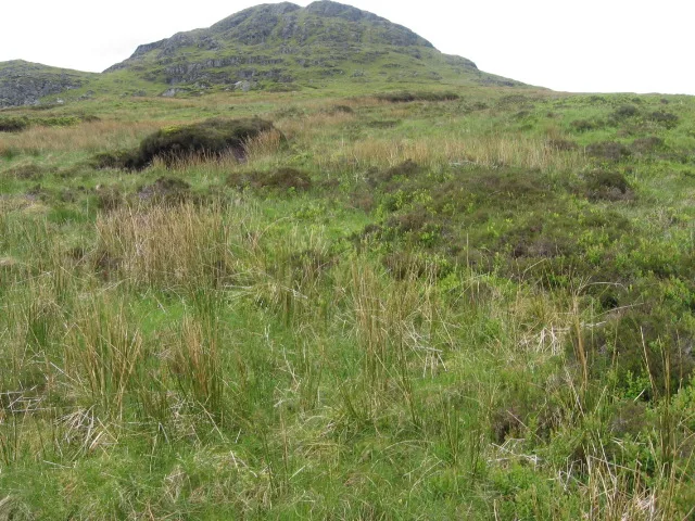
Beinn Reithe — Named summit at 652 m.

Wikimedia Commons contributors — see linked file page for photographer and licence licence
Plan your visit
- Typical visit
- 3 h–8 h
- Best time of year
- Late spring – early autumn (May–Oct)
- Nearest railway station
- Garelochhead · 7.6 km
- Free entry
- Dog-friendly
About
Beinn Reithe is a named summit in the United Kingdom. Wikidata describes it as: "Named summit at 652 m.". Coordinates: 56.1467°, -4.8519°.
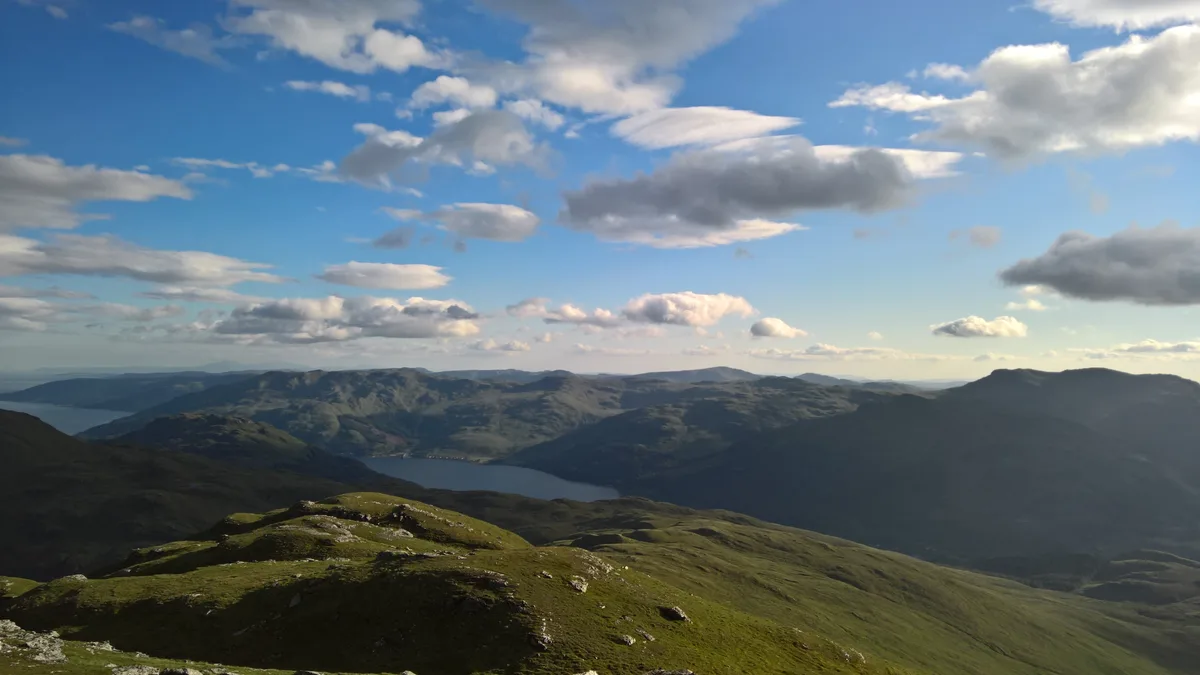
Photo gallery
From the Wikipedia article
Beinn Reithe is a mountain in Argyll in the Scottish Highlands and forms part of the Ardgoil Peninsula and Arrochar Alps. Beinn Reithe is located between Loch Goil and Loch Long; it reaches a height just over 2,000 feet (600 metres). The mountain is most noticeable from the western shores of Loch Goil and it is also within Loch Lomond and the Trossachs National Park.
Excerpt from Wikipedia under CC BY-SA 4.0. See the source article linked in Sources below.
- Coordinates
- 56.1467, -4.8519
- Address
- Argyll and Bute, Scotland
- Nearest railway station
- Garelochhead — 7.6 km
Sources
- osm: n773380663 (ODbL)
- wikipedia: Beinn Reithe (CC BY-SA 4.0)
- commons: Beinn Reithe - geograph.org.uk - 447577.jpg (CC BY-SA 4.0)
Other places nearby
Loading nearby places…
Nearby
 📷 4
📷 4National parks · Scottish Highlands
Ardgoil
Ardgoil in Scotland Islands, United Kingdom.

Bowling alleys · Scottish Highlands
Ardgoil peninsula
Ardgoil peninsula in Scotland Islands, United Kingdom.
 📷 4
📷 4Mountains & hills · Scottish Highlands
Càrn Glas
Càrn Glas in Scotland Islands, United Kingdom.
 📷 3
📷 3Natural landmarks · Scottish Highlands
Beinn Reithe
Beinn Reithe — mountain in Argyll and Bute, Scotland, UK.
 📷 3
📷 3Natural landmarks · Scottish Highlands
Cnoc Coinnich
Cnoc Coinnich — mountain in Argyll and Bute, Scotland, UK.
 📷 3
📷 3Mountains & hills · Scottish Highlands
Cnoc Coinnich
Cnoc Coinnich — Named summit at 763.5 m.
More mountains in this region
 📷 3
📷 3Mountains & hills · Scottish Highlands
A' Bhuidheanach Bheag
A' Bhuidheanach Bheag — Named summit at 936 m.
 📷 3
📷 3Mountains & hills · Scottish Highlands
A' Chailleach
A' Chailleach — Named summit at 997 m.
 📷 3
📷 3Mountains & hills · Scottish Highlands
A' Chailleach
A' Chailleach — Named summit at 930 m.
 📷 3
📷 3Mountains & hills · Scottish Highlands
A' Chaoirnich
A' Chaoirnich — Named summit at 875 m.
Frequently asked questions
- Where is Beinn Reithe?
- Beinn Reithe is in the Scottish Highlands, United Kingdom.
- Is Beinn Reithe free to visit?
- Yes, Beinn Reithe is free to enter.
- How do I get to Beinn Reithe?
- The nearest railway station is Garelochhead, about 7.6 km away.