Towns & cities · London
Beeston
Also known as: Beeston, Swydd Bedford
Beeston — village in Bedfordshire, United Kingdom.

Wikimedia Commons contributors — see linked file page for photographer and licence licence
Plan your visit
- Typical visit
- 3 h–6 h
- Nearest railway station
- Sandy · 1.2 km
- Free entry
- Family-friendly
- Dog-friendly
About
Beeston is a town, city, village or settlement in the United Kingdom. Address: SG19. Wikidata describes it as: "village in Bedfordshire, United Kingdom". Coordinates: 52.1190°, -0.2950°.
Photo gallery
From the Wikipedia article
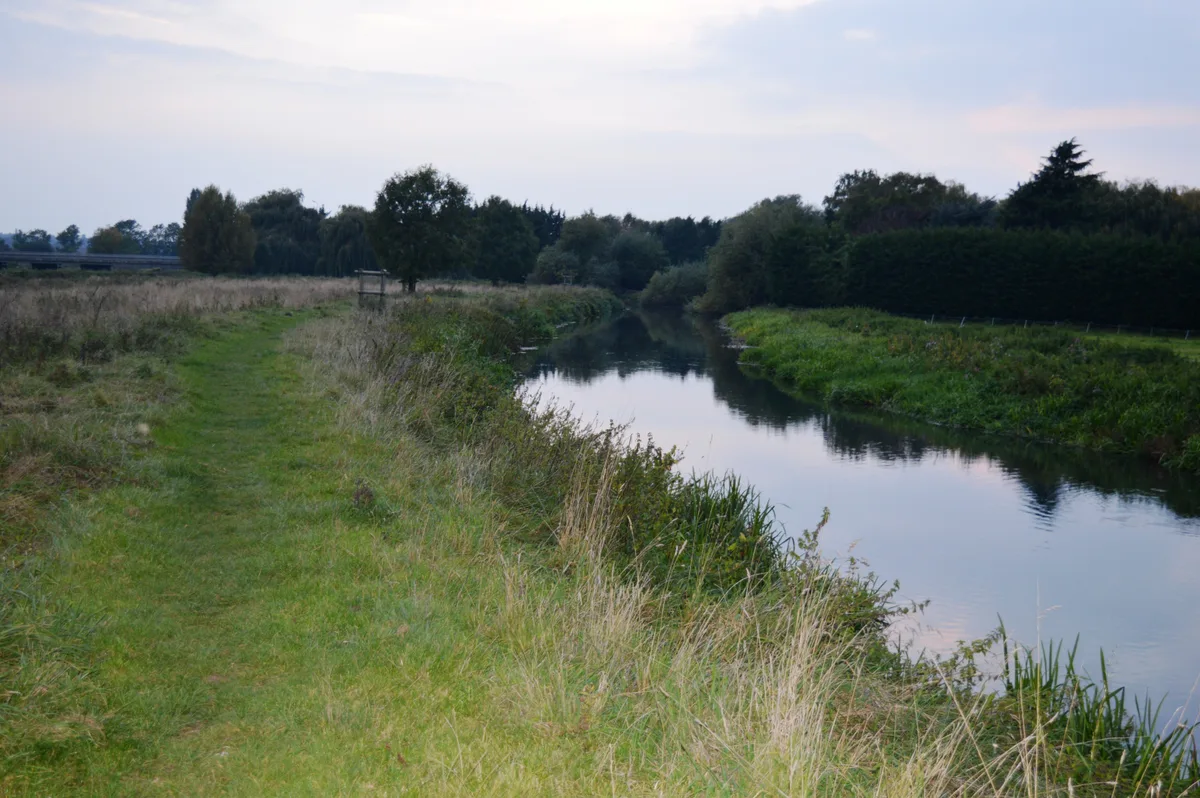
Beeston is a village in the civil parish of Sandy in Central Bedfordshire, ceremonial county of Bedfordshire, England. The village lies about half a mile south of Sandy, north of Biggleswade and east of Bedford. Beeston appears in the Domesday Book of 1086 where it shown as having a mill: "Bistone: Roland, Norman and Pirot from Eudo FitzHubert; William Speke; Thurstan the Chamberlain; Godmund; Alwin from the King. Mill." The medieval period saw the construction of the Great North Road, the post road connecting London to Edinburgh, which ran through Beeston. In the 1930s the Ministry of Transport upgraded the Great North Road to a trunk road and it became the A1 in 1923. Subsequent upgrades during the 1960s saw this section of the road become a dual carriageway which effectively split the hamlet and isolated the larger part of Beeston from Sandy, pedestrian access being limited to a footbridge. Plans are afoot to reposition the road to bypass Beeston/Sandy but no date for this work has been set. Historically the main occupation of the residents of Beeston was market gardening, farming and straw plaiting (woman & girls) for the hat industry. Beeston is in the Anglican Parish of St Swithun, Sandy. It has a Wesleyan (Methodist) Chapel built 1865 with seating for 300. A former chapel on Beeston Green is now a private home. The major feature of Beeston is the 13-acre (53,000 m2) village green bounded by many of the older residences.
Excerpt from Wikipedia under CC BY-SA 4.0. See the source article linked in Sources below.
- Coordinates
- 52.1190, -0.2950
- District
- Central Bedfordshire
- Parish
- Sandy
- Postcode
- SG19
- Parliamentary constituency
- North Bedfordshire
- Nearest railway station
- Sandy — 1.2 km
Sources
- wikidata: Q304034 (CC0)
- wikipedia: Beeston, Bedfordshire (CC BY-SA 4.0)
- commons: Beeston Green - geograph.org.uk - 351968.jpg (CC BY-SA 4.0)
Other places nearby
Loading nearby places…
Nearby
 📷 5
📷 5Wildlife reserves · London
The Riddy
The Riddy — nature reserve in the United Kingdom.
 📷 5
📷 5Memorials & monuments · London
Frederick Thomas Bidlake
Frederick Thomas Bidlake is a memorial in the United Kingdom.
 📷 5
📷 5Historic bridges · London
Girtford Bridge
Girtford Bridge — Grade II listed building-listed bridge in england-london, United Kingdom.
 📷 5
📷 5Memorials & monuments · London
Sandy War Memorial
Sandy War Memorial — Grade II listed building-listed memorial in england-london, United Kingdom.
 📷 5
📷 5Museums · London
Sandy, Bedfordshire
Sandy, Bedfordshire — a museum in england-london, United Kingdom.
Vineyards · London
Caesar's Camp
Caesar's Camp — a UK vineyard in england london, producing English or Welsh wine from cool-climate grape varieties.
More towns in this region
 Flagship📷 10
Towns & cities · London
Aldenham
Aldenham — village and civil parish in Hertfordshire, England.
 Flagship📷 10
Towns & cities · London
Ashdon
Ashdon — village and civil parish in Essex, UK.
 Flagship📷 10
Towns & cities · London
Betchworth
Betchworth — village and civil parish in the Mole Valley district of Surrey, England.
 Flagship📷 10
Towns & cities · London
Boxley
Boxley — village and civil parish in Maidstone District, Kent, England, UK.
Frequently asked questions
- Where is Beeston?
- Beeston is in London, United Kingdom (postcode SG19), in the parish of Sandy.
- Is Beeston free to visit?
- Yes, Beeston is free to enter.
- How do I get to Beeston?
- The nearest railway station is Sandy, about 1.2 km away. Drivers can navigate to postcode SG19.