Towns & cities · South East England
Beckley
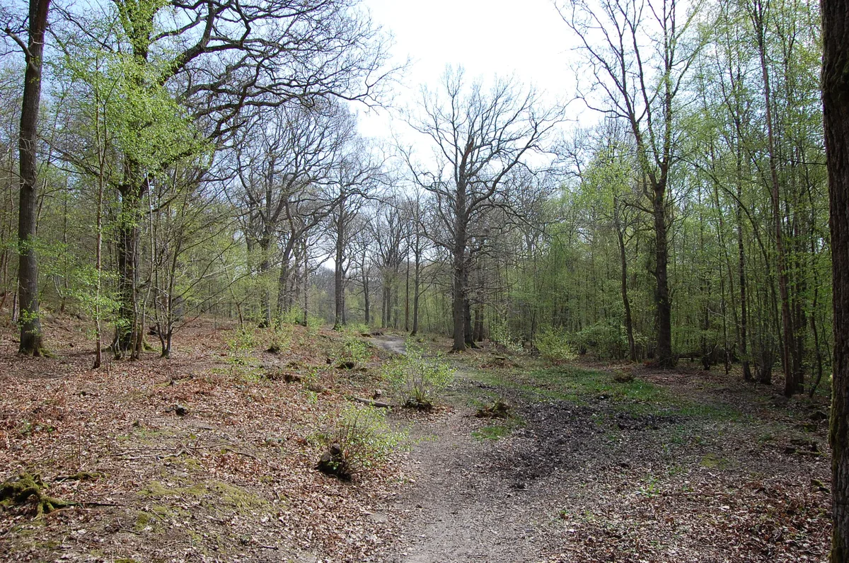
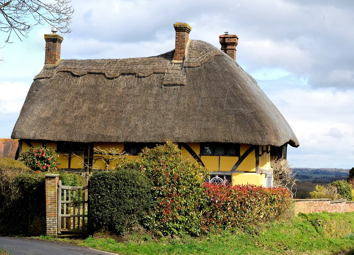
Beckley — village in East Sussex, United Kingdom.

Wikimedia Commons contributors — see linked file page for photographer and licence licence
Plan your visit
- Typical visit
- 3 h–6 h
- Nearest railway station
- Northiam · 2.8 km
- Free entry
- Family-friendly
- Dog-friendly
About
Beckley is a town, city, village or settlement in the United Kingdom. It covers approximately 23 km². Recent population estimates put it at around 974 people. Address: TN31. Wikidata describes it as: "village in East Sussex, United Kingdom". Coordinates: 50.9900°, 0.6400°.
Photo gallery
Protected designations
- Area of Outstanding Natural Beauty: High Weald
Designations sourced from Natural England open data under OGL v3.
From the Wikipedia article
Beckley is a village and civil parish in the Rother district of East Sussex, England. It is located on the B2088 minor road above the Rother Levels five miles (8.0 km) northwest of Rye and ten miles (16 km) from Hastings. The northern border follows the river Rother.
Excerpt from Wikipedia under CC BY-SA 4.0. See the source article linked in Sources below.
Background
History
Beckley was part of the Wealden iron industry. An iron furnace was built in 1578, at the small settlement still called Beckley Furnace. A watermill powered the bellows. Production ceased in 1770. The 1830s saw a mass emigration of Beckley residents to New South Wales. At the time, the developing colony of New South Wales was in need of skilled agricultural labourers, whilst the English labourers were suffering hard times. Various schemes were introduced to provide finance for workers to emigrate. 165 Beckley residents took up the offer and emigrated. Amongst those residents were Thomas and Maria Ann Smith (née Sherwood), the cultivator of the Granny Smith apple. Another of those residents…
Sourced from Wikipedia under CC BY-SA 4.0.
- Coordinates
- 50.9900, 0.6400
- County
- East Sussex
- District
- Rother
- Parish
- Beckley
- Postcode
- TN31
- Parliamentary constituency
- Bexhill and Battle
- Population
- 974
- Nearest railway station
- Northiam — 2.8 km
- Official site
- www.beckleyparishcouncil.co.uk
Sources
- wikidata: Q959973 (CC0)
- wikipedia: Beckley, East Sussex (CC BY-SA 4.0)
- commons: Beckley church - geograph.org.uk - 1509184.jpg (CC BY-SA 4.0)
Other places nearby
Loading nearby places…
Nearby
Campsites · South East England
Eagles Garth Caravan and Camping
Eagles Garth Caravan and Camping — a campsite in england south east.
 📷 5
📷 5Farms (open to visitors) · South East England
Children's Farm
Children's Farm — a other in england-south-east, United Kingdom.
 📷 5
📷 5Wildlife reserves · South East England
Flatropers Wood
Flatropers Wood is a wildlife reserve in the United Kingdom.
.jpg?width=1200) 📷 5
📷 5Forests & woodlands · South East England
Flatroper's Wood
Flatroper's Wood is a forest or woodland in the United Kingdom.
 📷 5
📷 5Manor houses · South East England
Goteley Old Manor
Goteley Old Manor — Grade II listed building-listed manor in england-south-east, United Kingdom.
 Flagship📷 5
Stately homes · South East England
Silverden Manor
Silverden Manor — manor house in Northiam, Rother, East Sussex, England, UK.
More towns in this region
 Flagship📷 10
Towns & cities · South East England
Aldermaston
Aldermaston — village and civil parish in West Berkshire in England, UK.
 Flagship📷 10
Towns & cities · South East England
Aldingbourne
Aldingbourne — village and civil parish in Arun, West Sussex, UK.
 Flagship📷 10
Towns & cities · South East England
Aldington
Aldington — village and civil parish in the Ashford District of Kent, England.
 Flagship📷 10
Towns & cities · South East England
Aldworth
Aldworth — village and civil parish in the English county of Berkshire.
Frequently asked questions
- Where is Beckley?
- Beckley is in East Sussex, South-East England, United Kingdom (postcode TN31), in the parish of Beckley.
- Is Beckley a protected site?
- Yes — Beckley is part of the High Weald National Landscape (AONB).
- Is Beckley free to visit?
- Yes, Beckley is free to enter.
- How do I get to Beckley?
- The nearest railway station is Northiam, about 2.8 km away. Drivers can navigate to postcode TN31.