Forts · Yorkshire & the Humber
Battle of Towton
Battle of Towton is a fort in the United Kingdom.

Andy Farrington — CC BY-SA 2.0 via Wikimedia Commons licence
Plan your visit
- Typical visit
- 45 min–1.5 h
- Nearest railway station
- Church Fenton · 3.8 km
About
Battle of Towton is a historic fort or fortified site in the United Kingdom. Coordinates: 53.8419°, -1.2790°. This entry is part of The Great Britain Guide, a free, ad-free, open-data tourist directory.
Photo gallery
Place summary
The Battle of Towton is a historic battlefield located in Yorkshire, within the parish of Saxton with Scarthingwell. This site is notable for being the largest and bloodiest battle of the Wars of the Roses, marking a significant conflict in English history.
AI-generated from the structured facts on this page (operator, designation, listing, era). Not a substitute for visiting.
- Coordinates
- 53.8419, -1.2790
- District
- North Yorkshire
- Parish
- Saxton with Scarthingwell
- Postcode
- LS24 9QQ
- Parliamentary constituency
- Wetherby and Easingwold
- Nearest railway station
- Church Fenton — 3.8 km
Sources
- osm: w889229824 (ODbL)
Other places nearby
Loading nearby places…
Nearby
 📷 5
📷 5Historic houses · Yorkshire & the Humber
Dacre's Cross
Dacre's Cross — a Grade II*-listed historic house in england-yorkshire, United Kingdom.
 📷 5
📷 5Towns & cities · Yorkshire & the Humber
Towton
Towton — village in North Yorkshire, England, UK.
 📷 5
📷 5Historic churches · Yorkshire & the Humber
Church of All Saints
Church of All Saints — historic church in Saxton with Scarthingwell, Selby, North Yorkshire, England, UK.
 📷 5
📷 5Castles · Yorkshire & the Humber
Saxton, North Yorkshire
Saxton, North Yorkshire — a castle in england-yorkshire, United Kingdom.
 📷 5
📷 5Historic churches · Yorkshire & the Humber
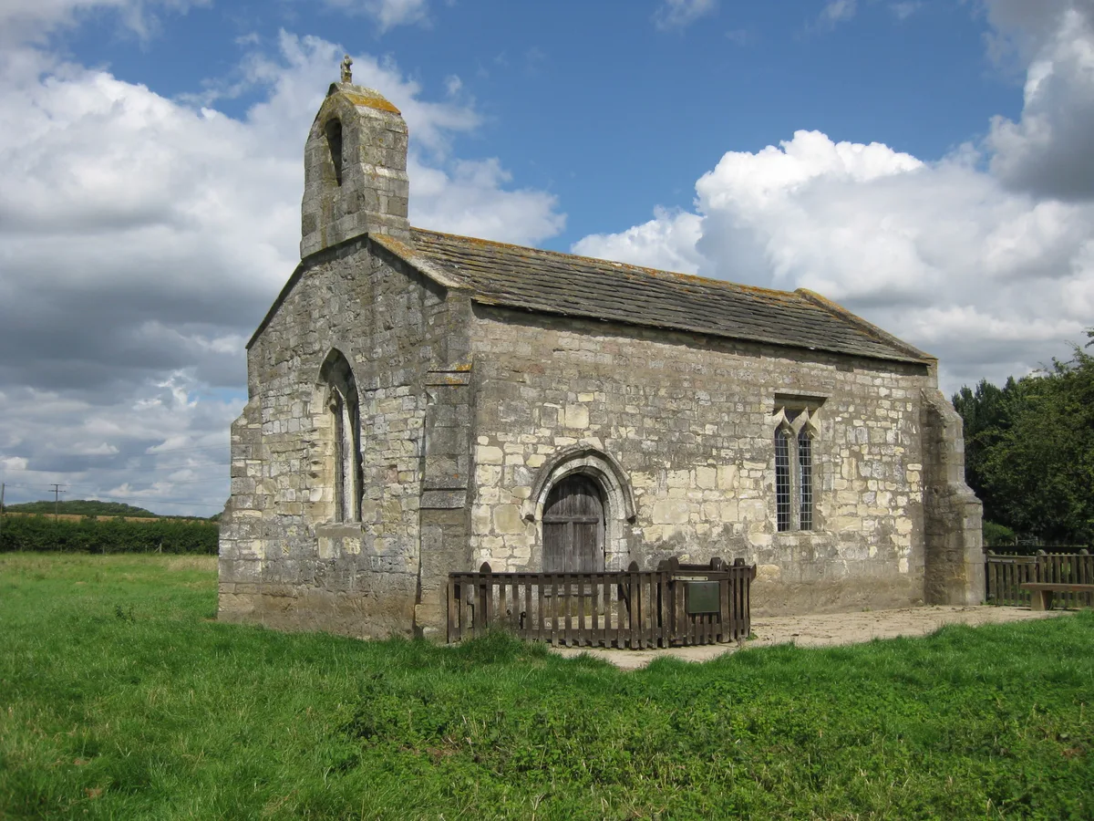
St Mary's Chapel, Lead
St Mary's Chapel, Lead — church in Lead, North Yorkshire, England, UK.
 📷 4
📷 4Memorials & monuments · Yorkshire & the Humber
Leper Pot
Leper Pot — a memorial in england-yorkshire, United Kingdom.
More forts in this region
.jpg?width=1200) 📷 3
📷 3Forts · Yorkshire & the Humber
Battle Flat
Battle Flat is a fort in the United Kingdom.
 📷 3
📷 3Forts · Yorkshire & the Humber
Battle of Adwalton Moor
Battle of Adwalton Moor is a fort in the United Kingdom.
 📷 3
📷 3Forts · Yorkshire & the Humber
Battle of Boroughbridge
Battle of Boroughbridge is a fort in the United Kingdom.
 📷 3
📷 3Forts · Yorkshire & the Humber
Battle of Bramham Moor
Battle of Bramham Moor is a fort in the United Kingdom.
Frequently asked questions
- Where is Battle of Towton?
- Battle of Towton is in Yorkshire & the Humber, in the United Kingdom — coordinates 53.8419°, -1.2790°. The nearest railway station is Church Fenton, around 3.8 km away.