Towns & cities · East of England
Barrow
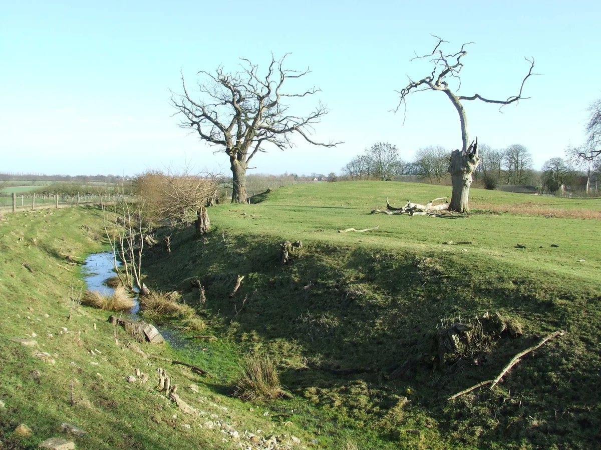
Barrow — village and civil parish in Suffolk, UK.

Wikimedia Commons contributors — see linked file page for photographer and licence licence
Plan your visit
- Typical visit
- 3 h–6 h
- Nearest railway station
- Kennett · 8.0 km
- Free entry
- Family-friendly
- Dog-friendly
About
Barrow is a town, city, village or settlement in the United Kingdom. Recent population estimates put it at around 1,429 people. Wikidata describes it as: "village and civil parish in Suffolk, UK". Coordinates: 52.2330°, 0.5830°.
Photo gallery
From the Wikipedia article
Barrow is a village and civil parish in the West Suffolk district of Suffolk, England, about eight miles west of Bury St Edmunds. According to Eilert Ekwall the meaning of the village name is grove or wood, hill or mound. The Domesday Book records the population of Barrow in 1086 to have been 27. By 1901 the population was 967. It rose to 1429 in 2001 and 1960 in the 2021 according tocensus records.
Excerpt from Wikipedia under CC BY-SA 4.0. See the source article linked in Sources below.
Background
History
A circular walk around the village is known as 'walking around Crattle' named after its main feature - Crattle Hill. The walk is 2.45 miles long and passes All Saints Church, Park Pond, and the cemetery. The small hamlet of Burthorpe Green is attached to Barrow. The playing field in the centre of the village is bordered by 19 poplar trees. On the small road to Risby is a large steep hill known locally as Bread & Water Hill. The village has two Public Houses - The Three Horseshoes, and The Weeping Willow. In 2005 Suffolk Academy a sports and Martial Arts Centre was built opposite Barrow Church by Glen Moulds a black belt 5th Dan in Shotokan Karate Barrow is 2 miles from the A14 Trunk road.…
Sourced from Wikipedia under CC BY-SA 4.0.
- Coordinates
- 52.2330, 0.5830
- County
- Suffolk
- District
- West Suffolk
- Parish
- Barrow
- Postcode
- IP29 5EB
- Parliamentary constituency
- West Suffolk
- Population
- 1,429
- Nearest railway station
- Kennett — 8 km
Sources
- wikidata: Q1908933 (CC0)
- wikipedia: Barrow, Suffolk (CC BY-SA 4.0)
- commons: Barrow - Church of All Saints.jpg (CC BY-SA 4.0)
Other places nearby
Loading nearby places…
Nearby
 📷 3
📷 3Memorials & monuments · East of England
Barrow War Memorial
Barrow War Memorial — Grade II listed building-listed memorial in england-east, United Kingdom.
📷 3Public art & sculpture · East of England
Barrow Village Sign
Barrow Village Sign — a public art in england-east, United Kingdom.
 📷 3
📷 3Castles · East of England
Denham Castle
Denham Castle — Castle in Gazeley, Forest Heath, Suffolk, England, UK.
 📷 3
📷 3Historic churches · East of England
Church of All Saints, Barrow
Church of All Saints, Barrow — a Grade I-listed church in england-east, United Kingdom.
 📷 4
📷 4Gardens · East of England
Great Saxham Hall
Great Saxham Hall — a garden in england-east, United Kingdom.
 📷 3
📷 3Public art & sculpture · East of England
Great Saxham Village Sign
Great Saxham Village Sign — a public art in england-east, United Kingdom.
More towns in this region
 Flagship📷 3
Towns & cities · East of England
Alburgh
Alburgh — village and civil parish in Norfolk, UK.
 Flagship📷 3
Towns & cities · East of England
Aldeby
Aldeby — village and civil parish in Norfolk, UK.
 Flagship📷 5
Towns & cities · East of England
Ashill
Ashill — village and civil parish in the English county of Norfolk.
 Flagship📷 3
Towns & cities · East of England
Aslacton
Aslacton — village and civil parish in Norfolk, UK.
Frequently asked questions
- Where is Barrow?
- Barrow is in Suffolk, East of England, United Kingdom (postcode IP29 5EB), in the parish of Barrow.
- Is Barrow free to visit?
- Yes, Barrow is free to enter.
- How do I get to Barrow?
- Drivers can navigate to postcode IP29 5EB. It sits within the West Suffolk parliamentary constituency.