Towns & cities · South East England
Ashmore
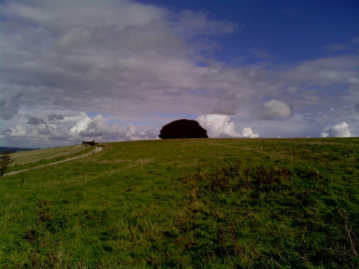
Ashmore — village in Dorset, England, UK.
.JPG?width=1200)
Wikimedia Commons contributors — see linked file page for photographer and licence licence
.JPG)
Plan your visit
- Typical visit
- 3 h–6 h
- Free entry
- Family-friendly
- Dog-friendly
About
Ashmore is a town, city, village or settlement in the United Kingdom. Recent population estimates put it at around 176 people. Wikidata describes it as: "village in Dorset, England, UK". Coordinates: 50.9598°, -2.1254°.
Photo gallery
Protected designations
- Site of Special Scientific Interest: River Avon System SSSI
- Site of Special Scientific Interest: Fontmell and Melbury Downs SSSI
- Area of Outstanding Natural Beauty: Cranborne Chase & West Wiltshire Downs
Designations sourced from Natural England open data under OGL v3.
From the Wikipedia article
Ashmore is a village and civil parish in Dorset, England, 20 miles (32 kilometres) southwest of Salisbury. In the 2021 census the parish had a population of 176. It has a church and several stone cottages and farms, many with thatched roofs. The village is the highest in the county. It is centred on a circular pond, or "mere", which gave the village its original name of "Ash-mere". There are grounds for believing Ashmore to be a Romano-British village which has survived without a break to the present day.
Excerpt from Wikipedia under CC BY-SA 4.0. See the source article linked in Sources below.
Background
History
Three round barrows have been found in the parish: two barrows south of the village near Well Bottom, and one west of the village near the boundary with the village of Fontmell Magna; this latter barrow was excavated in the 19th century and bones were recovered. The Roman road from Bath to Badbury Rings passes through the east of the parish. it had 24 households, 7 ploughlands and 10 acre of meadow. It was in Cranborne Hundred and had a value of £15 to the lord of the manor, who was King William. Until 1859, Ashmore had an open field system; the three fields—North Field to the north, and Sandpit Fields and Broadridge to the south—were roughly equal in size and covered an area of 380 acre.…
Sourced from Wikipedia under CC BY-SA 4.0.
- Coordinates
- 50.9598, -2.1254
- District
- Dorset
- Parish
- Ashmore
- Postcode
- SP5 5AD
- Parliamentary constituency
- North Dorset
- Population
- 176
Sources
- wikidata: Q1771529 (CC0)
- wikipedia: Ashmore (CC BY-SA 4.0)
- commons: Ashmore, Dorset, 2015 (a).JPG (CC BY-SA 4.0)
Other places nearby
Loading nearby places…
Nearby
 📷 5
📷 5Memorials & monuments · South East England
Ashmore War Memorial
Ashmore War Memorial — Grade II listed building-listed memorial in england-south-east, United Kingdom.
Vineyards · South East England
Caesar's Camp
Caesar's Camp — a UK vineyard in england south east, producing English or Welsh wine from cool-climate grape varieties.
 📷 5
📷 5Mountains & hills · South East England
Win Green
Win Green — Named summit at 277 m.
 Flagship📷 10
Parks · South East England
Larmer Tree Gardens
Larmer Tree Gardens — park in Tollard Royal, Wiltshire, England, UK.
 📷 5
📷 5Historic houses · South East England
Ashcombe House
Ashcombe House — listed house in Wiltshire, England, UK.
 📷 5
📷 5Theatres · South East England
Singing Theatre
Singing Theatre — Grade II listed building-listed theatre in england-south-east, United Kingdom.
More towns in this region
 Flagship📷 10
Towns & cities · South East England
Aldermaston
Aldermaston — village and civil parish in West Berkshire in England, UK.
 Flagship📷 10
Towns & cities · South East England
Aldingbourne
Aldingbourne — village and civil parish in Arun, West Sussex, UK.
 Flagship📷 10
Towns & cities · South East England
Aldington
Aldington — village and civil parish in the Ashford District of Kent, England.
 Flagship📷 10
Towns & cities · South East England
Aldworth
Aldworth — village and civil parish in the English county of Berkshire.
Frequently asked questions
- Where is Ashmore?
- Ashmore is in South-East England, United Kingdom (postcode SP5 5AD), in the parish of Ashmore.
- Is Ashmore a protected site?
- Yes — Ashmore is part of the River Avon System SSSI Site of Special Scientific Interest and the Fontmell and Melbury Downs SSSI Site of Special Scientific Interest.
- Is Ashmore free to visit?
- Yes, Ashmore is free to enter.
- How do I get to Ashmore?
- Drivers can navigate to postcode SP5 5AD. It sits within the North Dorset parliamentary constituency.