Museums · South West England
Ashburton, Devon
Ashburton is a town on the south-southeastern edge of Dartmoor in Devon, England, adjacent to the A38. The town is 20 miles (32 km) northeast of Plymouth and 17 miles (27 km) southwest of Exeter. It w

Derek Harper — CC BY-SA 2.0 via Wikimedia Commons licence
Plan your visit
- Typical visit
- 1.5 h–3 h
- Best time of year
- Year-round
- Family-friendly
- Limited wheelchair access
About
Ashburton is a town on the south-southeastern edge of Dartmoor in Devon, England, adjacent to the A38. The town is 20 miles (32 km) northeast of Plymouth and 17 miles (27 km) southwest of Exeter. It was formerly important as a stannary town (a centre for the administration of tin mining) and remains the largest town in the national park. Ashburton has two pubs in the centre of town and six restaurants/cafés. The town is also part of the electoral ward named Ashburton and Buckfastleigh, the population of which at the 2011 census was 7,718.
Photo gallery
From the Wikipedia article
Ashburton is a town on the south-southeastern edge of Dartmoor in Devon, England, adjacent to the A38. The town is 20 miles (32 km) northeast of Plymouth and 17 miles (27 km) southwest of Exeter. It was formerly important as a stannary town (a centre for the administration of tin mining) and remains the largest town in the national park. Ashburton has two pubs in the centre of town and six restaurants/cafés. The town is also part of the electoral ward named Ashburton and Buckfastleigh, the population of which at the 2011 census was 7,718.
Excerpt from Wikipedia under CC BY-SA 4.0. See the source article linked in Sources below.
Background
History
The name of the town derives from the Old English æsc-burna-tun meaning 'farm/settlement with a stream frequented by ash trees'. The name is recorded in Domesday Book (1086) as Essebretone. Ashburton was then the main town of the Parish of Ashburton, in Teignbridge Hundred. In the late Middle Ages the guild of St Lawrence had effectively become the town council. During the English Civil War Ashburton was a temporary refuge for Royalist troops fleeing after their defeat by General Fairfax at nearby Bovey Tracey. The population in the 1841 census was 3,841. The town was the terminus of the Buckfastleigh, Totnes and South Devon Railway, which opened on 1 May 1872. Ashburton railway station…
Architecture
]] The parish church of St Andrew is a fine 15th-century Grade One Building, with a tall tower and two aisles. The 15th-century church tower includes sculptures by Herbert Edmund Read (1885–1951), who also carved the oak reredos; (he is not the art historian Herbert Read). One window has stained glass designed by C. E. Kempe. The porch is partly Norman. St Lawrence Chapel is a Grade II* Listed Building in St Lawrence Lane in the centre of the town. Originally a chantry chapel and then a grammar school for more than 600 years, St Lawrence Chapel is now an important heritage, cultural and community centre, managed by the Guild of St Lawrence. The town's old Methodist Church (Grade II listed)…
Sourced from Wikipedia under CC BY-SA 4.0.
- Coordinates
- 50.5153, -3.7550
- County
- Devon
- District
- Teignbridge
- Parish
- Ashburton
- Postcode
- TQ13 7DD
- Parliamentary constituency
- Central Devon
- Official site
- www.stlawrencechapel.org.uk
Sources
- wikipedia: Ashburton, Devon (CC BY-SA 4.0)
Other places nearby
Loading nearby places…
Nearby
📷 3Museums · South West England
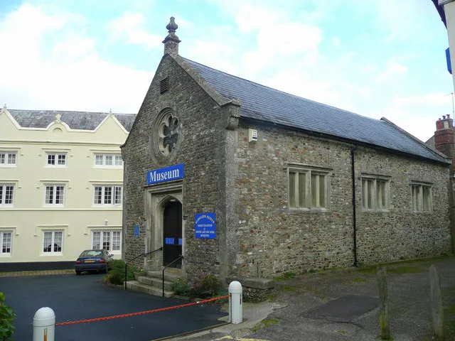
St. Lawrence Chapel
St. Lawrence Chapel — a museum in england-south-west, United Kingdom.
 📷 5
📷 5Chapels · South West England
Chapel Of St Lawrence
Chapel Of St Lawrence — chapel in Ashburton, Devon, England, UK.
 📷 3
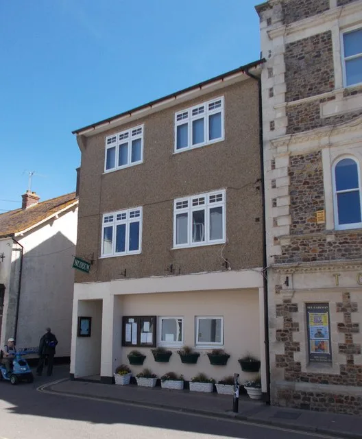
📷 3Museums · South West England
Ashburton Museum
Ashburton Museum — a museum in england-south-west, United Kingdom.
 📷 5
📷 5Historic houses · South West England
Card House
Card House — house in Ashburton, Teignbridge, England, UK.
 📷 3
📷 3Historic bridges · South West England
Bridge At Sx 7562 6973
Bridge At Sx 7562 6973 — Grade II listed building-listed bridge in england-south-west, United Kingdom.
 📷 5
📷 5Historic churches · South West England
Church of St Andrew
Church of St Andrew — church in Ashburton, Devon, England, UK.
More museums in this region
 📷 5
📷 5Museums · South West England
Allhallows Museum
Allhallows Museum — museum in Honiton, Devon, England, United Kingdom.
 📷 5
📷 5Museums · South West England
Axe Valley Heritage Museum
Axe Valley Heritage Museum — museum in Seaton, England, UK.
 📷 5
📷 5Museums · South West England
Bakelite Museum
Bakelite Museum is a museum in the United Kingdom.
 📷 5
📷 5Museums · South West England
Barometer World
Barometer World — former museum in Devon, England.
Frequently asked questions
- Where is Ashburton, Devon?
- Ashburton, Devon is in South West England, in the United Kingdom — coordinates 50.5153°, -3.7550°.
- Is Ashburton, Devon wheelchair accessible?
- Partially — OpenStreetMap notes limited wheelchair access at Ashburton, Devon. Check ahead for specific facilities.