Wildlife reserves · South East England
Ash Ranges
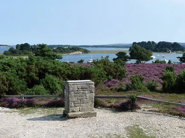
Ash Ranges is a wildlife reserve in the United Kingdom.

Wikimedia Commons contributors — see linked file page for photographer and licence licence
Plan your visit
- Typical visit
- 2 h–4 h
- Best time of year
- Autumn & winter (migration & wildfowl)
- Nearest railway station
- Wanborough · 2.7 km
- Free entry
- Dog-friendly
About
Ash Ranges is a wildlife reserve in the United Kingdom. Coordinates: 51.2680°, -0.6600°. This entry is part of The Great Britain Guide, a free, ad-free, open-data tourist directory.
Photo gallery
Protected designations
- Site of Special Scientific Interest: Ash to Brookwood Heaths SSSI
- Site of Special Scientific Interest: Basingstoke Canal SSSI
- Area of Outstanding Natural Beauty: Surrey Hills
Designations sourced from Natural England open data under OGL v3.
From the Wikipedia article
Ash Ranges is a 1,392-hectare (3,440-acre) nature reserve west of Pirbright in Surrey. It is owned by the Ministry of Defence and managed by the Surrey Wildlife Trust. It is part of the Thames Basin Heaths Special Protection Area and the Ash to Brookwood Heaths Site of Special Scientific Interest This large area of dry heath provides a habitat for many rare plants, invertebrates and reptiles, including the rare sand lizard. There are flora such as the carnivorous round-leaved sundew, bell heather and early-purple orchid, and heath tiger and green tiger beetles, while birds include nightjars, woodlarks and Dartford warblers. There is no access to danger areas when red flags are flying.
Excerpt from Wikipedia under CC BY-SA 4.0. See the source article linked in Sources below.
- Coordinates
- 51.2680, -0.6600
- County
- Surrey
- District
- Guildford
- Parish
- Normandy
- Postcode
- GU3 2DX
- Parliamentary constituency
- Surrey Heath
- Nearest railway station
- Wanborough — 2.7 km
Sources
- wikidata: Q60254786 (CC0)
- wikipedia: Ash Ranges (CC BY-SA 4.0)
- commons: Cleygate Common - geograph.org.uk - 1327363.jpg (CC BY-SA 4.0)
Other places nearby
Loading nearby places…
Nearby
 📷 5
📷 5Manor houses · South East England
Whipley Manor
Whipley Manor — Grade II listed building-listed manor in england-south-east, United Kingdom.
 📷 5
📷 5Memorials & monuments · South East England
Wyke and Normandy War Memorial Cross
Wyke and Normandy War Memorial Cross — Grade II listed building-listed memorial in england-south-east, United Kingdom.
 📷 5
📷 5Natural landmarks · South East England
Admiral's Walk
Admiral's Walk — a other in england-south-east, United Kingdom.
 📷 5
📷 5Viewpoints · South East England
B
B is a viewpoint in the United Kingdom.
 📷 5
📷 5Viewpoints · South East England
C
C is a viewpoint in the United Kingdom.
 📷 5
📷 5Viewpoints · South East England
A
A is a viewpoint in the United Kingdom.
More places in this region
 Flagship📷 10
Wildlife reserves · South East England
Arne RSPB reserve
Arne RSPB reserve — RSPB nature reserve in the United Kingdom.
 Flagship📷 10
Wildlife reserves · South East England
Farnham Park
Farnham Park — nature reserve in Surrey, England, UK.
 Flagship📷 10
Wildlife reserves · South East England
Great Wood and Dodd's Grove
Great Wood and Dodd's Grove — Essex Wildlife Trust Nature reserve.
 Flagship📷 10
Wildlife reserves · South East England
Gunners Park and Shoebury Ranges
Gunners Park and Shoebury Ranges — Essex Wildlife Trust Nature reserve.
Frequently asked questions
- Where is Ash Ranges?
- Ash Ranges is in Surrey, South-East England, United Kingdom (postcode GU3 2DX), in the parish of Normandy.
- Who owns Ash Ranges?
- Ash Ranges is owned by Surrey Wildlife Trust.
- Is Ash Ranges a protected site?
- Yes — Ash Ranges is part of the Ash to Brookwood Heaths SSSI Site of Special Scientific Interest and the Basingstoke Canal SSSI Site of Special Scientific Interest.
- Is Ash Ranges free to visit?
- Yes, Ash Ranges is free to enter.
- How do I get to Ash Ranges?
- The nearest railway station is Wanborough, about 2.7 km away. Drivers can navigate to postcode GU3 2DX.
- Are dogs allowed at Ash Ranges?
- Most wildlife reserves allow dogs on lead only, with restrictions during ground-nesting bird season (March-July). Check signage at the reserve.