Natural landmarks · North West England
Arnside Knott
Arnside Knott — 159 m hill near Arnside, Cumbria, England.

Wikimedia Commons contributors — see linked file page for photographer and licence licence
Plan your visit
- Typical visit
- 1 h–2 h
- Nearest railway station
- Arnside · 1.5 km
- Free entry
- Dog-friendly
About
Arnside Knott is a named natural landmark in the United Kingdom. Wikidata describes it as: "159 m hill near Arnside, Cumbria, England". Coordinates: 54.1902°, -2.8351°.
Photo gallery
Protected designations
- Site of Special Scientific Interest: Arnside Knott SSSI
- Site of Special Scientific Interest: Morecambe Bay SSSI
- Area of Outstanding Natural Beauty: Arnside & Silverdale
- Ramsar wetland: Morecambe Bay
Designations sourced from Natural England open data under OGL v3.
From the Wikipedia article
Arnside Knott is a hill with a summit elevation of 159 metres (522 ft), near Arnside, Cumbria, England. It is not in the Lake District National Park, lying south of the River Kent which forms the south eastern boundary of the national park. It is within the Arnside and Silverdale National Landscape (formerly Area of Outstanding Natural Beauty or AONB), and is National Trust property. Arnside Knott is the lowest Marilyn (i.e. a hill with at least 150 m of topographic prominence) in England. It was not included in Alan Dawson's The Relative Hills of Britain (1992: ISBN 1-85284-068-4) which was the first listing of Marilyns and showed the lowest one as the Hebridean island of Muldoanich, but was added to the list in 2004–05. A detailed survey of the summit and the col was made in 2010, confirming their heights as 159.1 m (522 ft) +/-0.1 m (3.9 in) and 8.3 m (27 ft) +/-0.4 m (1 ft 4 in) respectively, giving a prominence of 150.8 m (495 ft) +/-0.4 m (1 ft 4 in) and confirming the hill's status as a Marilyn. The col is a point on the railway line east of Silverdale, the further north of two pedestrian railway crossings near Waterslack. Arnside Knott has been described as "one of the best sites in Britain to see butterflies", and rare species found there include the high brown fritillary and the Scotch argus. The National Trust grazes Highland cattle on Arnside Knott. On the north slopes of the hill the now defunct Arnside Golf Club had a golf course from 1906 to the time of World War 2.
Excerpt from Wikipedia under CC BY-SA 4.0. See the source article linked in Sources below.
- Coordinates
- 54.1902, -2.8351
- District
- Westmorland and Furness
- Parish
- Arnside
- Postcode
- LA5 0EY
- Parliamentary constituency
- Morecambe and Lunesdale
- Nearest railway station
- Arnside — 1.5 km
Sources
- wikidata: Q697500 (CC0)
- wikipedia: Arnside Knott (CC BY-SA 4.0)
- commons: Arnside Knott trig - geograph.org.uk - 140594.jpg (CC BY-SA 4.0)
Other places nearby
Loading nearby places…
Nearby
 📷 3
📷 3Mountains & hills · North West England
Arnside Knott
Arnside Knott — Named summit at 159 m.
 📷 3
📷 3Historic houses · North West England
Arnside Tower
Arnside Tower — a historic house in england-north-west, United Kingdom.
Caravan parks · North West England
Holgates Holiday Park: Hollins Farm
Holgates Holiday Park: Hollins Farm — a caravan park in england north west.
 📷 5
📷 5Towns & cities · North West England
Arnside
Arnside — village and civil parish in Cumbria, England, UK.
 📷 3
📷 3Historic churches · North West England
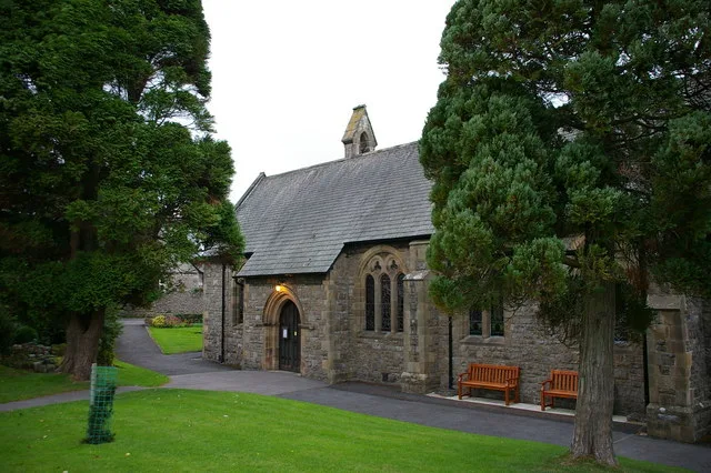
St James' Church, Arnside
St James' Church, Arnside — church in United Kingdom.
 📷 3
📷 3Galleries · North West England
Gallery H
Gallery H — a gallery in england-north-west, United Kingdom.
More natural landmarks in this region
 ★ Iconic📷 4
Natural landmarks · North West England
Coniston Water
Lake District lake — Swallows and Amazons setting and Donald Campbell water-speed history.
 📷 3
📷 3Natural landmarks · North West England
Elter Water
Elter Water — lake in the United Kingdom.
 📷 3
📷 3Natural landmarks · North West England
Esthwaite Water
Esthwaite Water — lake in the United Kingdom.
 Flagship📷 5
Natural landmarks · North West England
Semerwater
Semerwater — lake in North Yorkshire, England, UK.
Frequently asked questions
- Where is Arnside Knott?
- Arnside Knott is in North-West England, United Kingdom (postcode LA5 0EY), in the parish of Arnside.
- Is Arnside Knott a protected site?
- Yes — Arnside Knott is part of the Arnside Knott SSSI Site of Special Scientific Interest and the Morecambe Bay SSSI Site of Special Scientific Interest.
- Is Arnside Knott free to visit?
- Yes, Arnside Knott is free to enter.
- How do I get to Arnside Knott?
- The nearest railway station is Arnside, about 1.5 km away. Drivers can navigate to postcode LA5 0EY.