Towns & cities · Scottish Highlands
Achmore
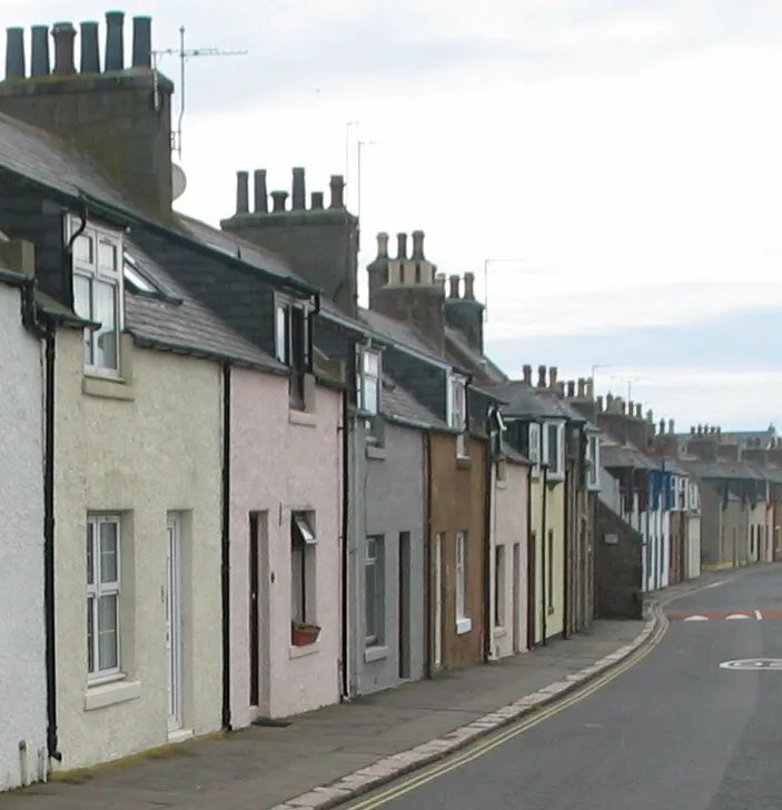
Achmore — village on Lewis, Outer Hebrides, Scotland, UK.

Wikimedia Commons contributors — see linked file page for photographer and licence licence
Plan your visit
- Typical visit
- 3 h–6 h
- Free entry
- Family-friendly
- Dog-friendly
About
Achmore is a town, city, village or settlement in the United Kingdom. Wikidata describes it as: "village on Lewis, Outer Hebrides, Scotland, UK". Coordinates: 58.1716°, -6.5774°.
Photo gallery
From the Wikipedia article
Achmore (Scottish Gaelic: An t-Acha Mòr; marked on some maps as Acha Mòr) is a village in the Scottish Outer Hebrides, on the Isle of Lewis. The name means 'big field'. Achmore is within the parish of Lochs and lies on the A858, about 7 miles (11 km) southwest of Stornoway. The village is the only one on Lewis which does not lie on the coast. The village was one of several that were created in around 1823 in Lochs to accommodate tenants that had been evicted from other parts of the parish and island. It was founded by former tenants of the farm of Kirkibost on the island of Bernera. They claimed that they had been forced to give up their lease at the insistence of the Seaforth Estate, and had moved to Achmore and nearby Lochganvich with the agreement of the said Estate and with the promise of a 14-year lease of these farms. In the early 1830s, however, the Estate, having found a more profitable tenant or use for the land of these 1823 villages, began formal proceedings to evict the existing tenants, on the basis that they had no written lease. The other villages bowed to Estate pressure and disappeared, but Achmore seems to have been different. Six of the tenants of that farm – John Maclennan Senior, John Macdonald Senior, John Mackenzie, Kenneth Maciver, Murdo Maciver and Finlay Maclean – fought their eviction notices through the courts, ending up in the Court of Session in Edinburgh in 1833. Their defence was that although they had not been given a formal written lease, their occupation of the lands had been verbally agreed by the Estate Factor; that they had their names recorded in the estate rental logs; and that they paid their rents in full to the estate over those previous nine years. They also produced an estate document from 1823 which detailed how the farms of Achmore and Lochganvich should be lotted into 20 holdings together with a defined lot size of three acres, and rules by which the hill ground should operate in shared usage. It also suggested that…
Excerpt from Wikipedia under CC BY-SA 4.0. See the source article linked in Sources below.
Background
History
The remains of a fallen ancient stone circle lie close to the village. It was sited to link rare risings and settings of the moon and the sun with a hill range looking like a sleeping (and, only from the Achmore stone circle, pregnant) woman, called Cailleach na Mointeach (The Old Woman of the Moors). The circle was discovered in 1981 and measures 41 metres across. The circle was built around 3000 BC and probably consisted of 22 slabs up to two metres tall, two of which remain standing.
Sourced from Wikipedia under CC BY-SA 4.0.
- Coordinates
- 58.1716, -6.5774
- District
- Na h-Eileanan Siar
- Postcode
- HS2 9DU
- Parliamentary constituency
- Na h-Eileanan an Iar
Sources
- wikidata: Q778459 (CC0)
- wikipedia: Achmore, Lewis (CC BY-SA 4.0)
- commons: Acha Mor.JPG (CC BY-SA 4.0)
Other places nearby
Loading nearby places…
Nearby
 📷 3
📷 3Memorials & monuments · Scottish Highlands
Deanston Land Reclamation Project Memorial
Deanston Land Reclamation Project Memorial — a memorial in scotland-highlands, United Kingdom.
 📷 4
📷 4Islands · Scottish Islands
Isle of Lewis
Isle of Lewis in Scotland Islands, United Kingdom.
 📷 2
📷 2Archaeological sites · Scottish Highlands
Callanish VI
Callanish VI — a archaeological in scotland-highlands, United Kingdom.
 📷 3
📷 3Islands · Scottish Islands
Leurbost
Leurbost in Scotland Islands, United Kingdom.
📷 4Reservoirs & lochs · Scottish Islands
Lochs
Lochs in Scotland Islands, United Kingdom.
 📷 5
📷 5Historic churches · Scottish Highlands
Kinloch Church
Kinloch Church — category C listed building-listed church in scotland-highlands, United Kingdom.
More towns in this region
 Flagship📷 3
Towns & cities · Scottish Highlands
Cruden Bay
Cruden Bay — village in Aberdeenshire, Scotland, UK.
 Flagship📷 3
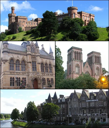
Towns & cities · Scottish Highlands
Inverness
Inverness — city in the Highlands of Scotland, United Kingdom.
 Flagship📷 3
Towns & cities · Scottish Highlands
Kyle of Lochalsh
Kyle of Lochalsh — village in Highland, Scotland, UK.
 📷 4
📷 4Towns & cities · Scottish Highlands
Aberchirder
Aberchirder — village in Aberdeenshire, Scotland, UK.
Frequently asked questions
- Where is Achmore?
- Achmore is in the Scottish Highlands, United Kingdom (postcode HS2 9DU).
- Is Achmore free to visit?
- Yes, Achmore is free to enter.
- How do I get to Achmore?
- Drivers can navigate to postcode HS2 9DU. It sits within the Na h-Eileanan an Iar parliamentary constituency.