Canal locks · West Midlands
Abingdon Lock
Abingdon Lock — lock on the River Thames in England.

Wikimedia Commons contributors — see linked file page for photographer and licence licence
Plan your visit
- Typical visit
- 20 min–45 min
- Nearest railway station
- Radley · 2.6 km
- Free entry
- Dog-friendly
About
Abingdon Lock is a canal lock in the United Kingdom. Wikidata describes it as: "lock on the River Thames in England". Coordinates: 51.6705°, -1.2692°.
Photo gallery
From the Wikipedia article
Abingdon Lock is a lock on the River Thames in England, less than 1 mile east and upstream of Abingdon, Oxfordshire, on the opposite bank of the river. It was originally built in 1790 by the Thames Navigation Commission. The weir runs across from the Abingdon side to the lock island, and has a pedestrian walkway across it. According to a tablet above the front door, the current lock-keeper's house dates from 1928. Ice creams and refreshments have been sold from the door of the house for at least 30 years.
Excerpt from Wikipedia under CC BY-SA 4.0. See the source article linked in Sources below.
Background
History
The navigation route in the vicinity of Abingdon has been subject to change over the centuries. The Swift Ditch further to the east was the original course of the river Thames. The stream to the town was developed by the monks of Abingdon Abbey and the original weir is reputed to have been built by them during the 10th century. A pound lock was built on the Swift Ditch by the Oxford-Burcot Commission in 1635 making it then the navigation route. In 1788 several citizens of Abingdon wanted to divert navigation back to the current course, possibly taking into account the Wilts & Berks Canal which was to connect to the current navigation channel at Abingdon within ten years. As a result,…
Visiting
The lock can be reached on a track heading north from Abingdon Bridge on the Andersey Island side. Alternatively it is possible to walk along the river from the town centre through Abbey Meadows and cross the weir.
Sourced from Wikipedia under CC BY-SA 4.0.
- Coordinates
- 51.6705, -1.2692
- County
- Oxfordshire
- District
- Vale of White Horse
- Parish
- Abingdon on Thames
- Postcode
- OX14 3NW
- Parliamentary constituency
- Oxford West and Abingdon
- Nearest railway station
- Radley — 2.6 km
- Official site
- www.environment-agency.gov.uk
Sources
- wikidata: Q4667834 (CC0)
- wikipedia: Abingdon Lock (CC BY-SA 4.0)
- commons: AbingdonLock01.JPG (CC BY-SA 4.0)
Other places nearby
Loading nearby places…
Nearby
 📷 3
📷 3Historic houses · West Midlands
Barton Court
Barton Court — a historic house in england-west-midlands, United Kingdom.
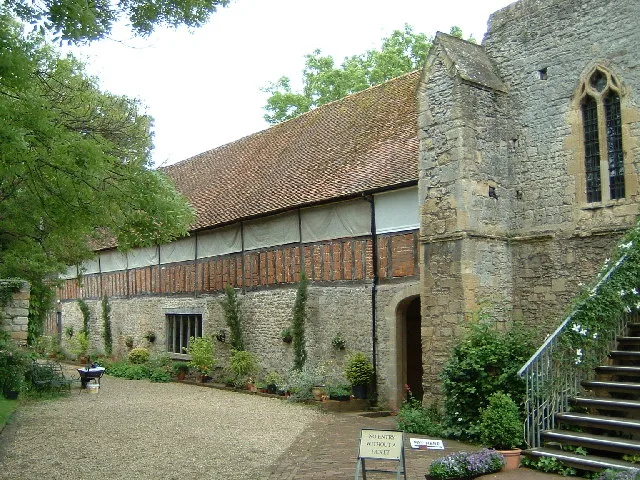
 Flagship📷 5
Cathedrals · South East England
Abingdon Abbey
Abingdon Abbey is a cathedral in the United Kingdom.
 📷 4
📷 4Abbeys & priories · West Midlands
Abingdon Abbey
Abingdon Abbey — Grade I listed abbey in Abingdon, Oxfordshire, England, United Kingdom.
📷 3Natural landmarks · West Midlands
Water Attraction
Water Attraction — a other in england-west-midlands, United Kingdom.
📷 3Public art & sculpture · West Midlands
Abingdon Needle
Abingdon Needle — a public art in england-west-midlands, United Kingdom.
 📷 3
📷 3Historic houses · West Midlands
Cosener's House
Cosener's House — Grade II listed building in Abingdon, Oxfordshire, England, UK.
More places in this region
 📷 3
📷 3Canal locks · West Midlands
Baddiley Lock Number 1
Baddiley Lock Number 1 — Grade II listed building in Baddiley, Cheshire, England, UK.
 📷 3
📷 3Canal locks · West Midlands
Baddiley Lock Number 2
Baddiley Lock Number 2 — Grade II listed building in Baddiley, Cheshire, England, UK.
 📷 3
📷 3Canal locks · West Midlands
Baddiley Lock Number 3
Baddiley Lock Number 3 — Grade II listed building in Baddiley, Cheshire, England, UK.
 📷 3
📷 3Canal locks · West Midlands
Barge Lock No 1 Adjacent To River Severn
Barge Lock No 1 Adjacent To River Severn — canal lock No 1 on the Worcester and Birmingham Canal, Worcester, Worcestershire, England, UK.
Frequently asked questions
- Where is Abingdon Lock?
- Abingdon Lock is in West Midlands, in the United Kingdom — coordinates 51.6705°, -1.2692°. The nearest railway station is Radley, around 2.6 km away.
- Is Abingdon Lock free to visit?
- Yes — admission to Abingdon Lock is free.