Natural landmarks · Scottish Highlands
A' Chrois
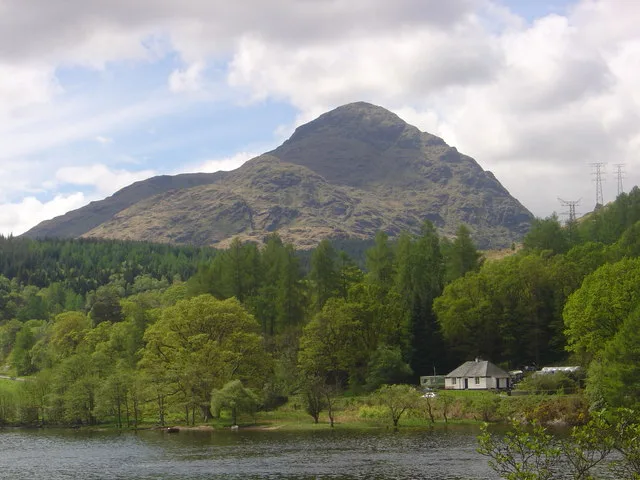
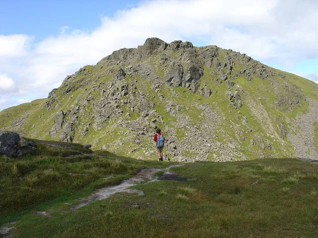
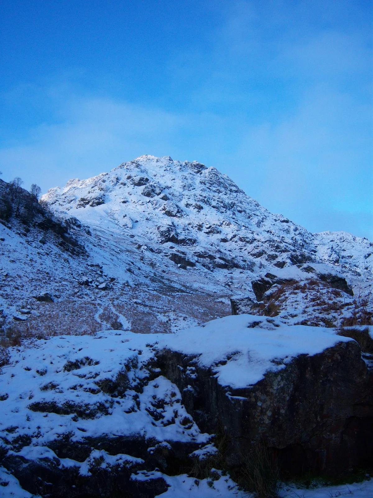
A' Chrois — 848m high mountain in Argyll and Bute, Scotland, UK.

Wikimedia Commons contributors — see linked file page for photographer and licence licence
Plan your visit
- Typical visit
- 1 h–2 h
- Nearest railway station
- Arrochar and Tarbet · 4.0 km
- Free entry
- Dog-friendly
About
A' Chrois is a named natural landmark in the United Kingdom. Part of Arrochar Alps. Wikidata describes it as: "848m high mountain in Argyll and Bute, Scotland, UK". Coordinates: 56.2313°, -4.7628°.
Photo gallery
From the Wikipedia article
A' Chrois is a mountain located in the Arrochar Alps north west of Arrochar in Argyll, an extremely scenic area which is technically in the highlands although it is within easy reach of the heavily populated areas of Glasgow. A' Chrois stands 2 miles (3.2 km) north-east of Arrochar at the head of Loch Long and reaches a summit elevation of 848.7 metres (2,784 ft). The mountain forms a ridge starting with Ben Arthur The Cobbler in the south by Ardgartan through Beinn Narnain to A' Chrois in the north by Glen Loin, visible to Loch Lomond. A' Chrois also provides the eastern gateway to the Arrochar Alps and can be climbed via Beinn Narnain or Succoth. It is classed as a Corbett Top of Beinn Narnain.
Excerpt from Wikipedia under CC BY-SA 4.0. See the source article linked in Sources below.
- Coordinates
- 56.2313, -4.7628
- Address
- Argyll and Bute, Scotland
- Nearest railway station
- Arrochar and Tarbet — 4 km
Sources
- wikidata: Q3396248 (CC0)
- wikipedia: A' Chrois (CC BY-SA 4.0)
- commons: A'Chrois - geograph.org.uk - 180850.jpg (CC BY-SA 4.0)
Other places nearby
Loading nearby places…
Nearby
 📷 3
📷 3Mountains & hills · Scottish Highlands
A' Chrois
A' Chrois — Named summit at 848 m.
 📷 5
📷 5Mountains & hills · Scottish Highlands
Beinn Narnain
Beinn Narnain — Named summit at 926 m.
 📷 5
📷 5Natural landmarks · Scottish Highlands
Beinn Narnain
Beinn Narnain — 927m high mountain in Argyll and Bute, Scotland, UK.
 📷 5
📷 5Other places · Scottish Highlands
Succoth
Succoth in Scotland Islands, United Kingdom.
 📷 3
📷 3Mountains & hills · Scottish Highlands
Ben Vane
Ben Vane — Named summit at 916 m.
 📷 3
📷 3Natural landmarks · Scottish Highlands
Ben Vane
Ben Vane — 915m high mountain in Argyll and Bute, Scotland, UK.
More natural landmarks in this region
 Flagship📷 3
Natural landmarks · Scottish Highlands
Dunalastair Water
Dunalastair Water — lake in Perth and Kinross, Scotland, UK, on the River Tummel.
 Flagship📷 3
Natural landmarks · Scottish Highlands
Loch Arkaig
Loch Arkaig — lake in Highland, Scotland, UK, outflows east to River Arkaig.
 Flagship📷 3
Natural landmarks · Scottish Highlands
Loch Assynt
Loch Assynt — lake in Highland, Scotland, UK, outflows to the River Inver and Loch na Garbh Uidhe.
 Flagship📷 3
Natural landmarks · Scottish Highlands
Loch Awe
Loch Awe — lake in Argyll and Bute, Scotland, UK, outflows to the River Awe.
Frequently asked questions
- Where is A' Chrois?
- A' Chrois is in the Scottish Highlands, United Kingdom.
- Is A' Chrois free to visit?
- Yes, A' Chrois is free to enter.
- How do I get to A' Chrois?
- The nearest railway station is Arrochar and Tarbet, about 4.0 km away.